Previous reviews
CHINTERGEO2024 concluded successfully in Wuhan. The three-day event showcased the latest surveying and geospatial information technology equipment across "sky, air, land, and sea," providing powerful technological tools for applications such as real-world 3D construction, intelligent surveying, smart water resources management, public safety, and emergency disaster mitigation
Still craving more from the previous exhibition highlights? Let's continue to revisit some of the standout exhibits!

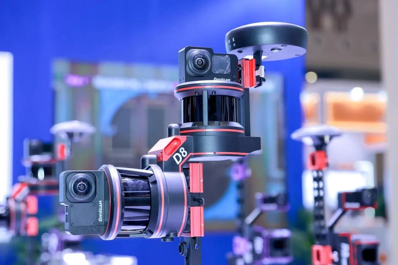
Entering the OSLAI intelligent booth, mobile SLAM color 3D laser scanners R6, R8, R8+, D8, as well as the explosion-proof models RM and RM+, are neatly arranged in prominent positions on the exhibition stand. The OmniSLAM® Modeler lightweight 3D real-scene automatic modeling solution is also presented through video, allowing visitors to clearly and intuitively view model results across multiple scenarios.
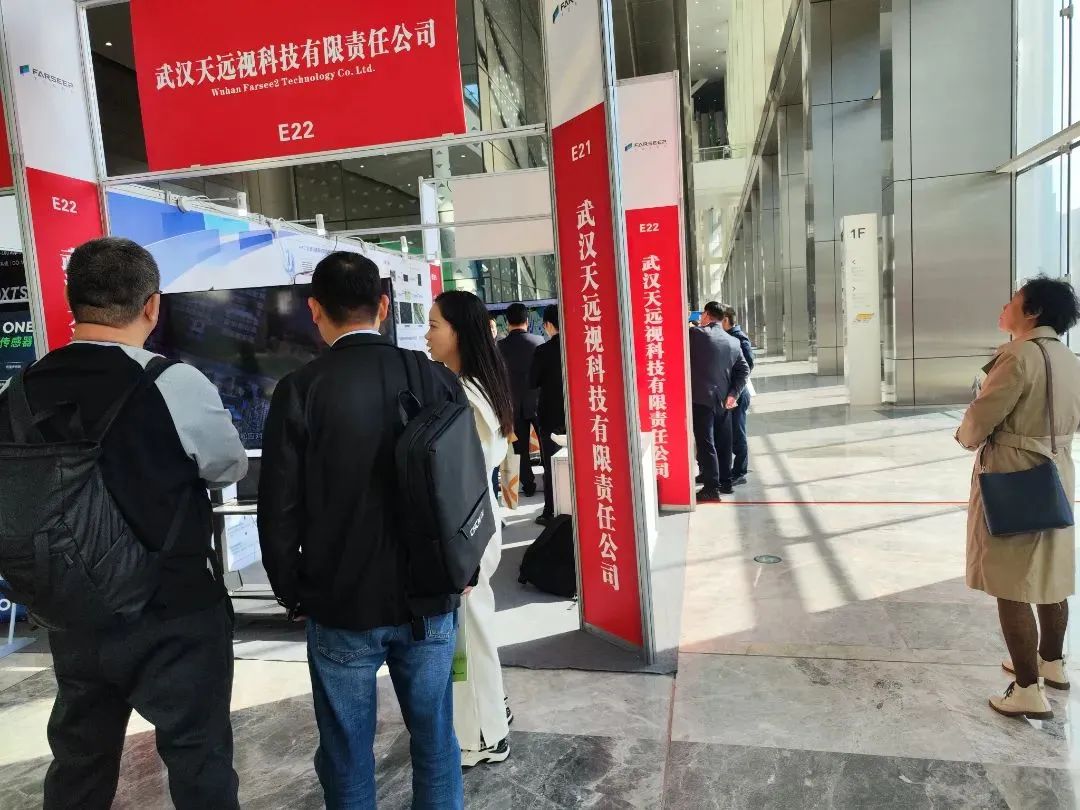
The latest AI3D fully automatic modeling technology developed by Tian Yuan Vision Technology is its independently developed large-scale urban-level automatic modeling software. It integrates multiple leading technologies such as 3DGS and radiation field, and possesses the ability to reconstruct large-scale spatial structures at the urban level. By leveraging advanced deep learning models, an innovative algorithm has been constructed to generate Mesh models containing precise components from aerial triangulation files. Based on the input original images and pose parameters, without the need for manual intervention, it can efficiently and automatically generate high-precision three-dimensional models.
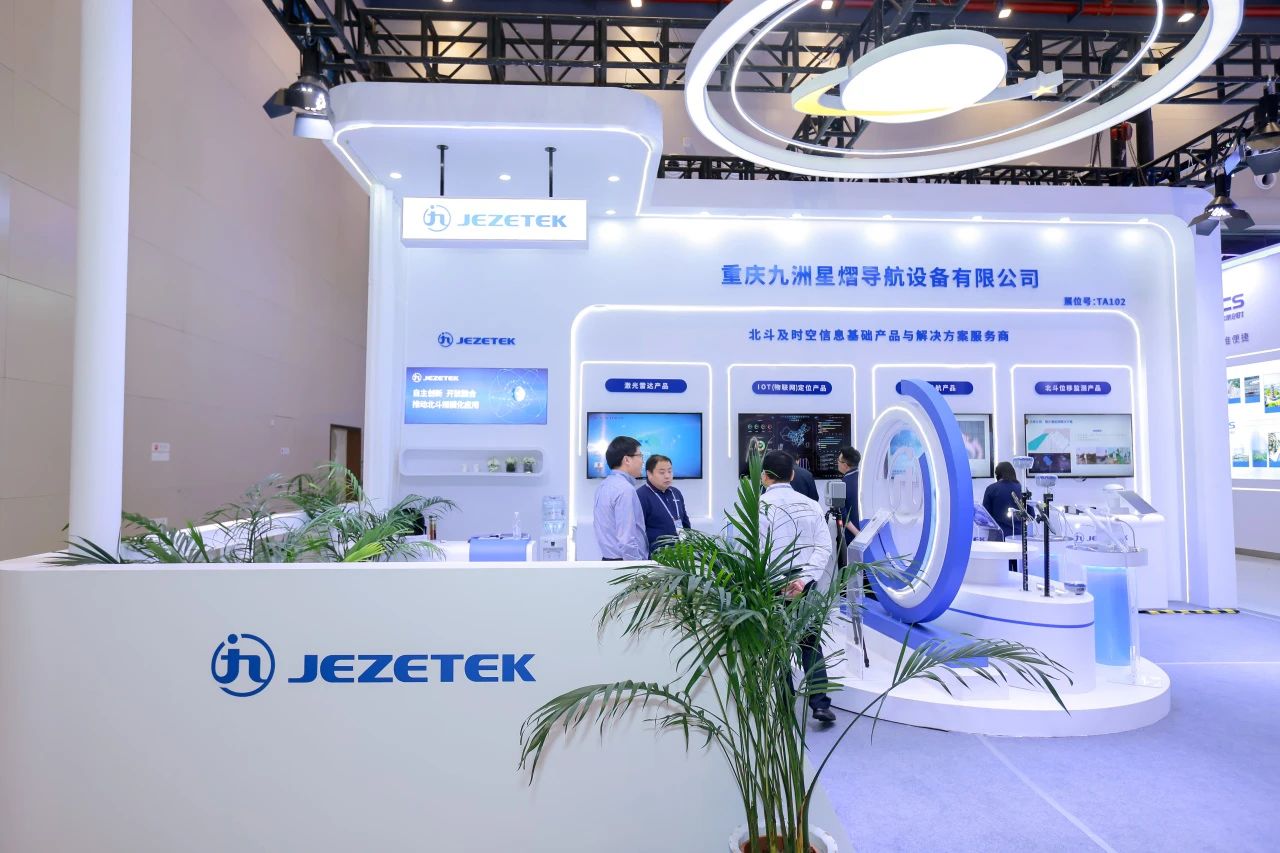
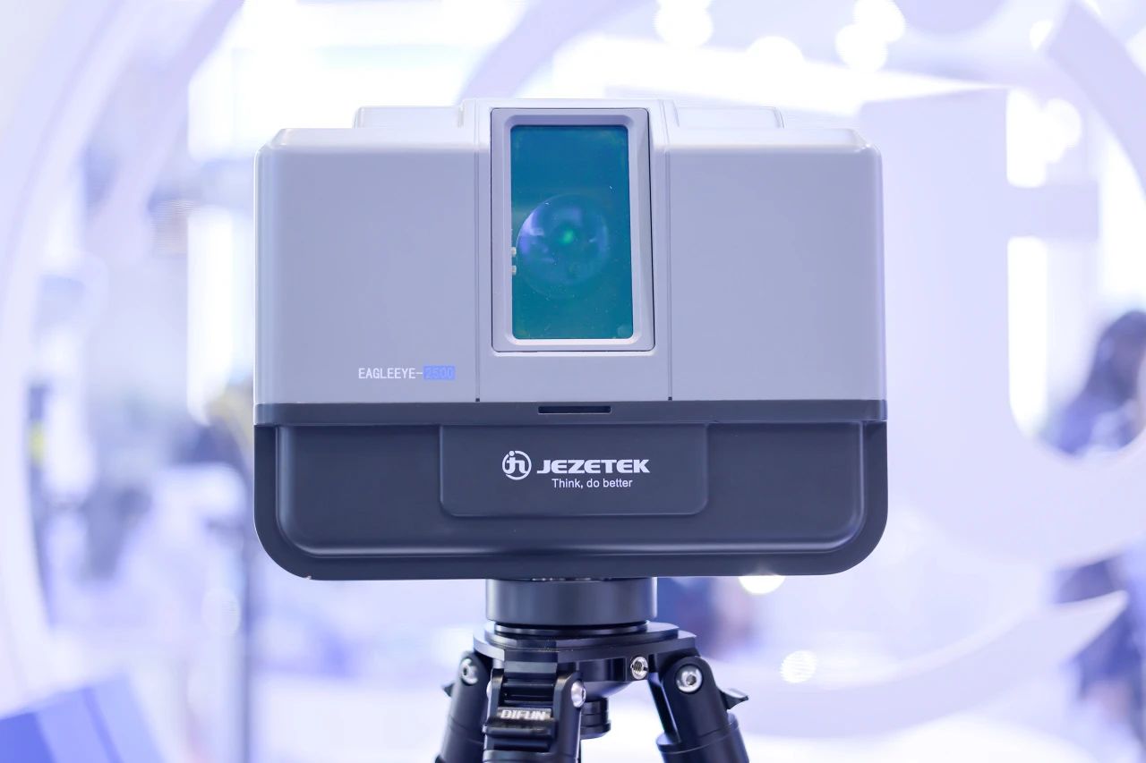
At this exhibition, Jiuzhou Xingyi comprehensively showcased its series of products and solutions centered around measurement and mapping, as well as high-precision positioning. At the new product launch event, the company provided in-depth explanations to the guests present about its high-precision positioning chips and modules, RTK mapping terminals, and 3D laser radar, which form the core of its new series of products.
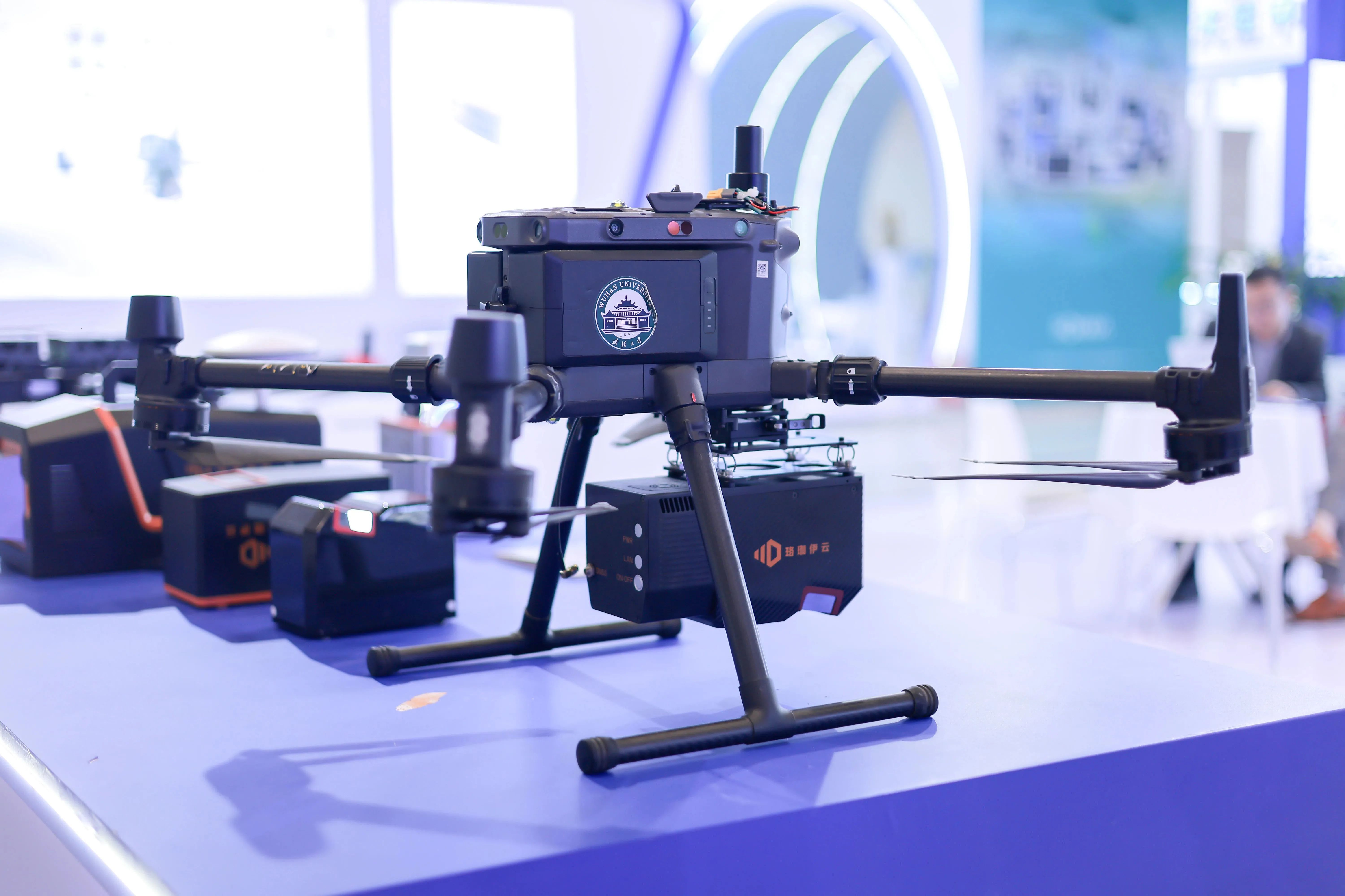
Wuhan Luojia Yiyun Optoelectronic Technology Co., Ltd. showcased a series of domestically produced high-precision surveying-grade laser radar equipment at the exhibition, including the FT800 airborne laser radar, FT1500 airborne laser radar, PRO360 vehicle-mounted laser radar, D800 vehicle-mounted laser radar, and the railway tunnel intelligent three-dimensional laser video detection system. These displays showcased the fruitful achievements represented by the domestic laser radar series.
Laisai Laser showcased its core product lines including architectural lasers and engineering intelligent tools. Compared to previous occasions, it placed greater emphasis on the display and exchange of industry application cases, engaging in communication with industry attendees, peers, and competitors regarding practical application scenarios.

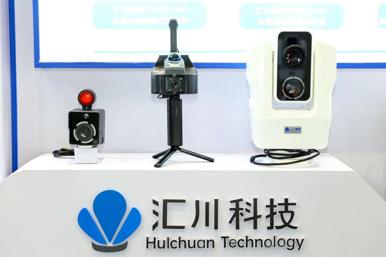
Huichuan Technology showcased its latest technologies and flagship products with great impact. The laser video AI measuring instrument and remote AI video monitoring technology attracted a large number of industry insiders. The novel technical solutions and products have filled and enriched the relevant technical means in the industry.
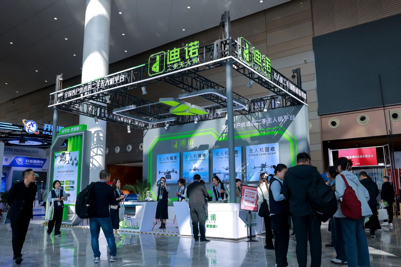
Dino's second-hand drone company has for the first time introduced its "one-stop drone industry application solution" to the public, featuring innovative models such as "integrated drone purchase and sale", "drone trade-in program", and "rapid drone repair". These solutions directly address the pain points in the traditional geographic information mapping industry, such as "difficult trade-in of old equipment", "difficult short-term use", "long repair cycle", and "idle resources". Additionally, they showcased the new product of Dino's SaaS cloud-link system.
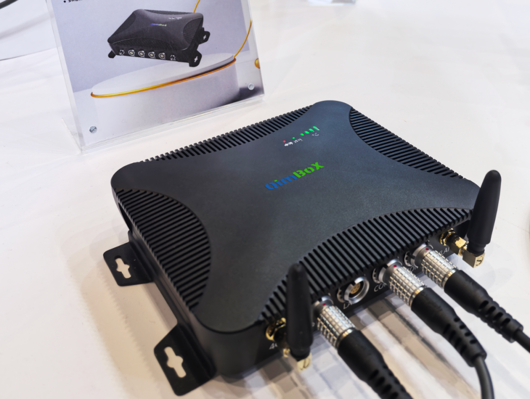
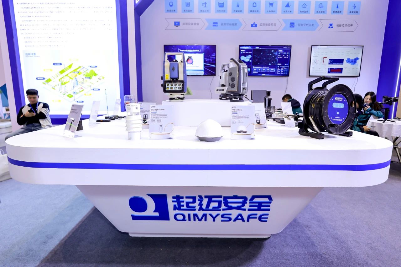
Rock Technology has introduced a newly upgraded product, QM5000, a monitoring edge gateway. This product is the fifth generation of the self-developed professional monitoring gateway in the QimBoX series of Rock Technology. Relying on the advanced industrial-grade processor independently developed by itself, it features an integrated design and outstanding stability, significantly optimizing the overall computing performance. QM5000 focuses on the field of measurement robot automated monitoring. It is fully compatible with all brands and supports automatic monitoring without a panel using total stations, providing strong hardware support for the deep application of edge computing and AI algorithms.
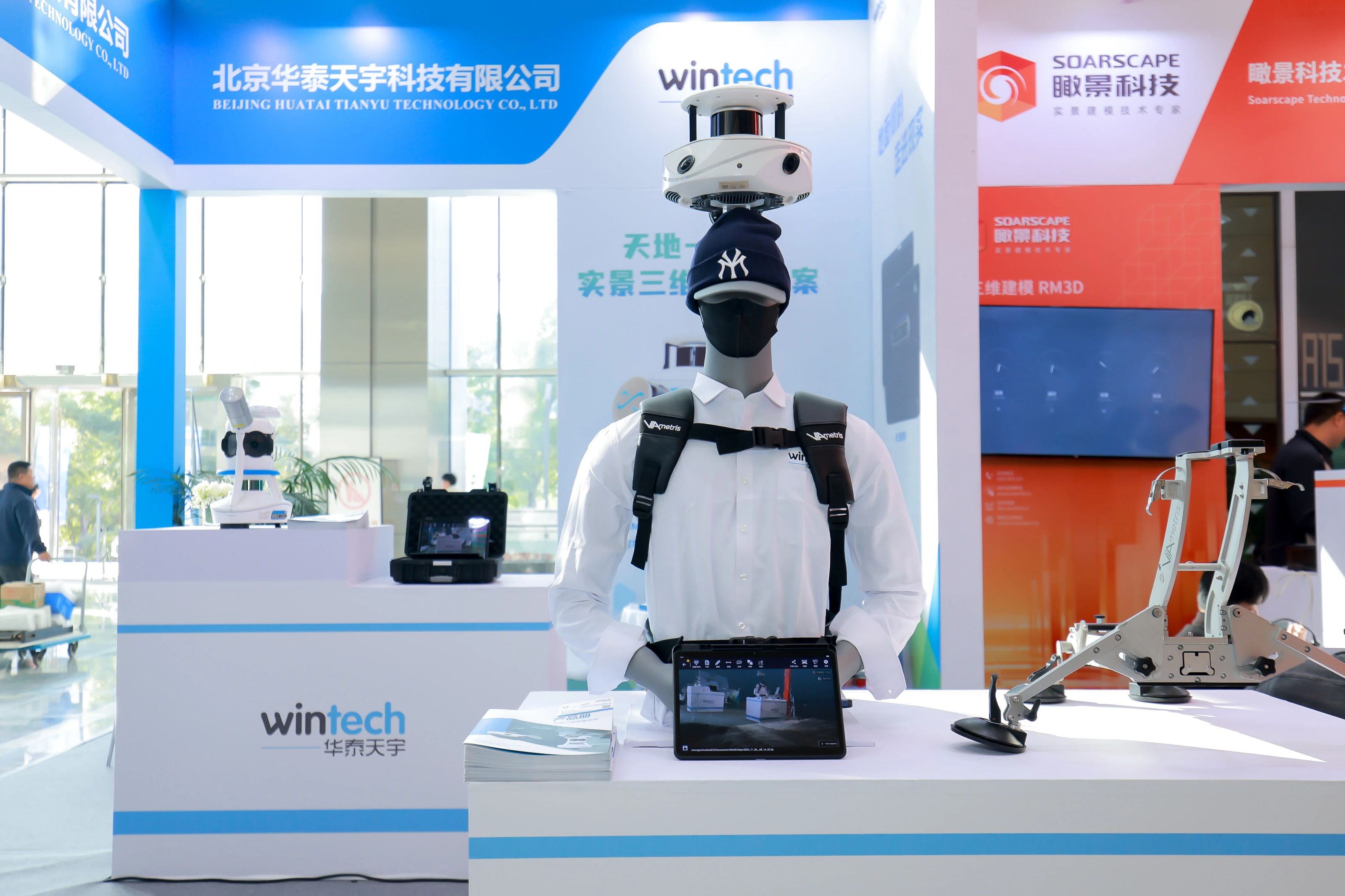
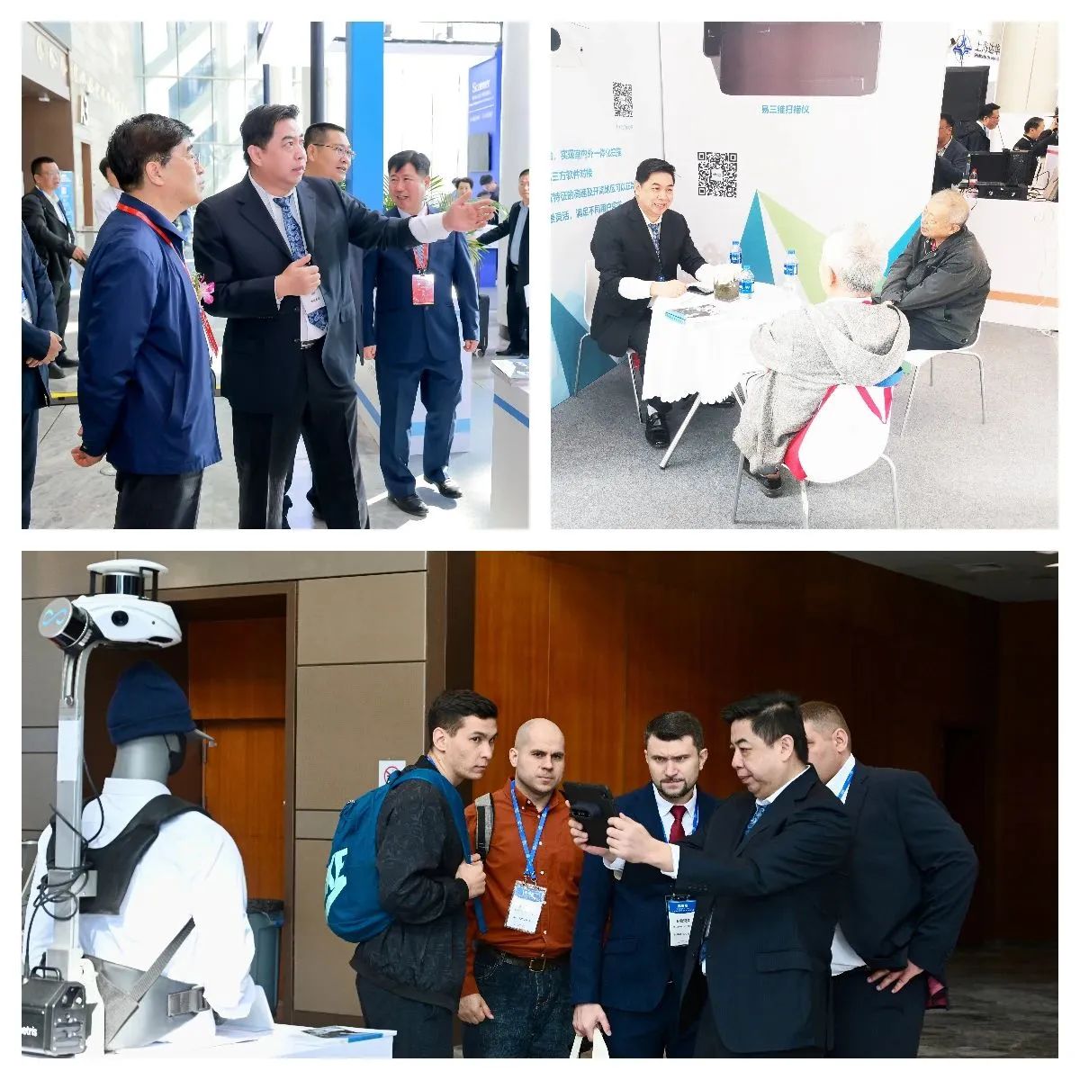
Huatai Tianyu showcased its key products in a comprehensive manner - the MS-96 real-time 3D measurement system, the VMS3D mobile scanning system, the Easy 3D mobile scanner, and the "Integrated Real-Time 3D Solution for Land and Sky". The MS-96 real-time 3D measurement system employs the SLAM algorithm, combined with INS and oblique photogrammetry technology, enabling it to quickly collect high-precision color point cloud and image data during the vehicle's high-speed movement.
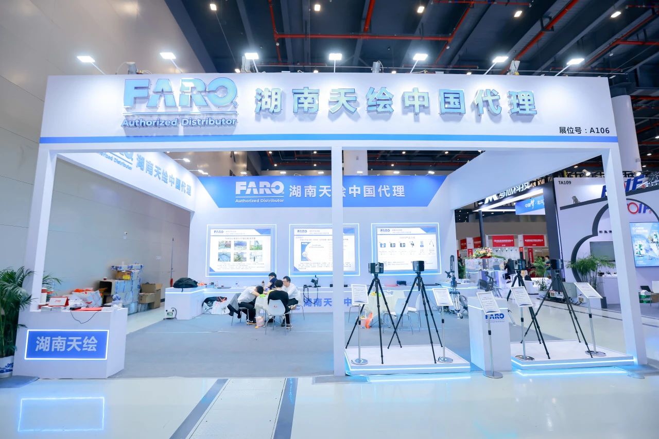
Hunan Tianyi Surveying and Mapping Technology Co., Ltd. showcased a series of products and solutions including FARO methods such as (FARO) core, premium, premium350, premium max large-space three-dimensional laser scanners, ScanPlan handheld two-dimensional scanner, Freestyle2 handheld high-precision three-dimensional scanner; SCENE, AS-built for CAD, AS-built for REVIT, BulidiT and other software, Vantage laser tracker, Quantum measuring arm, TracerM laser projector, etc.
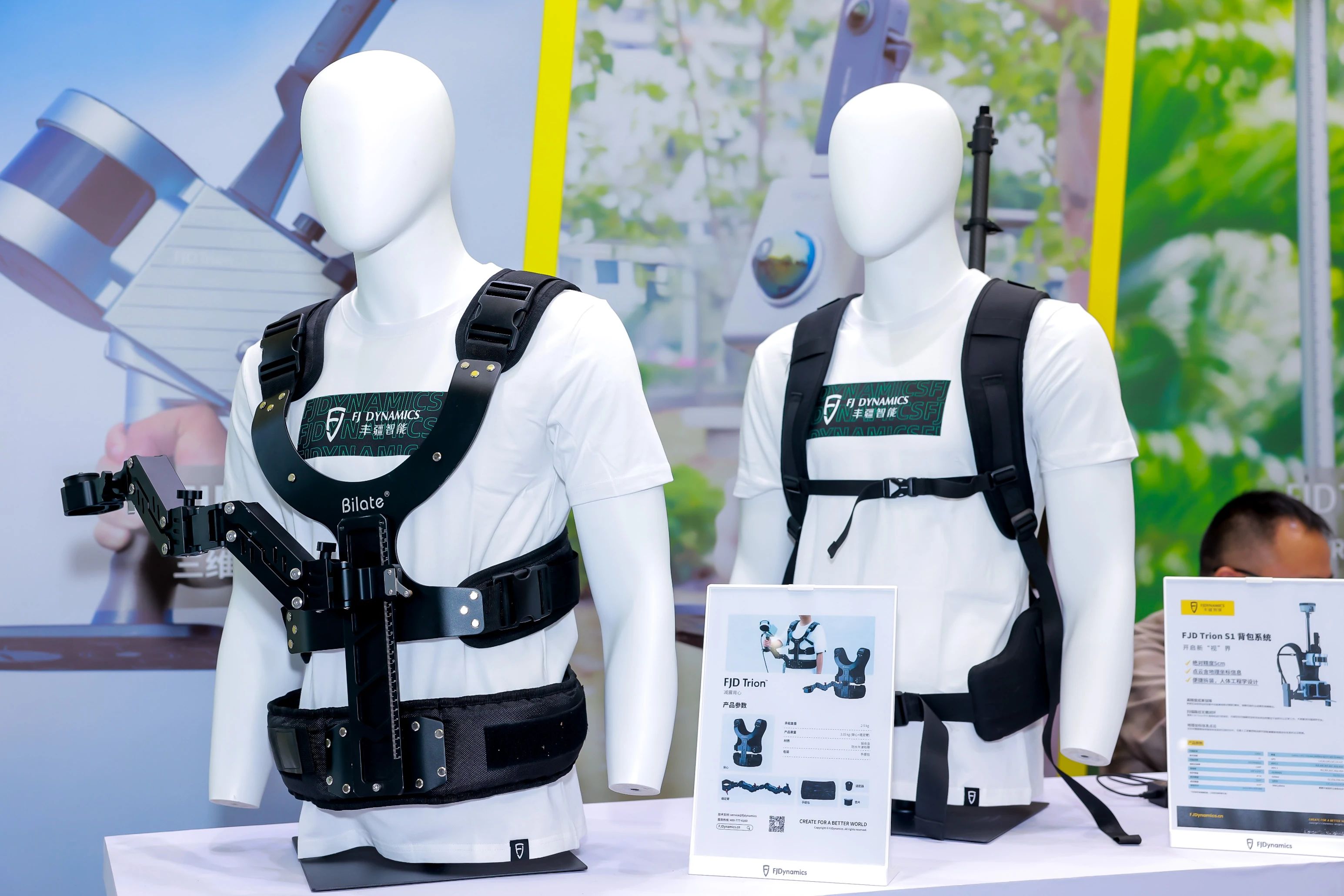
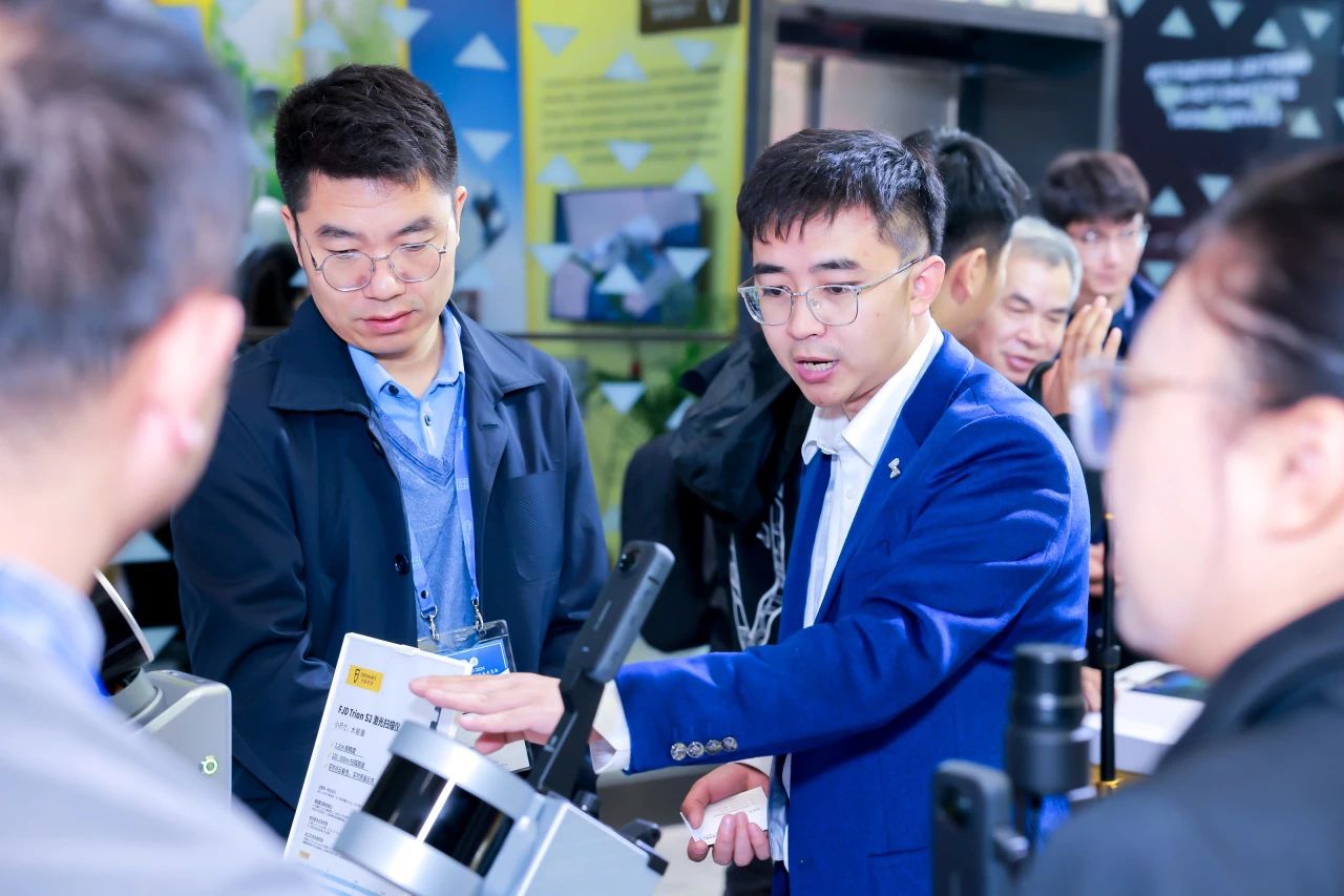
The products of Fengjiang Intelligent Display, such as the FJD Trion P1 scanner and FJD Trion S1 scanner, are widely used in fields including agriculture, horticulture, construction, surveying and facility services.
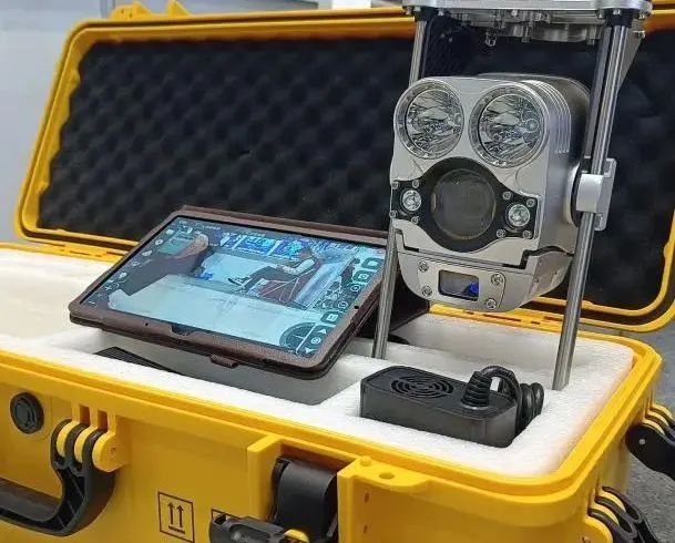
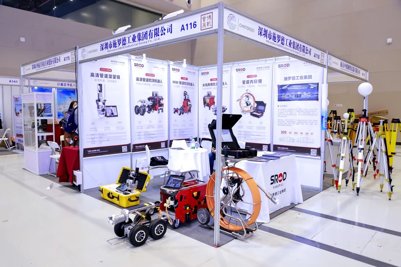
The Schroder Industrial Group has launched its latest underground pipeline inspection and maintenance equipment. These devices integrate advanced detection technologies, intelligent analysis systems and efficient maintenance tools, enabling comprehensive inspection, precise positioning and rapid repair of underground pipelines.
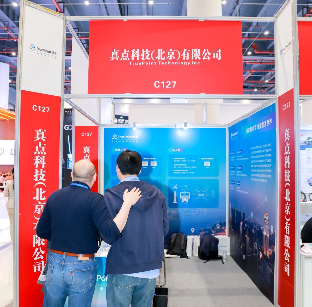
ZhenDian Technology provides a nationwide centimeter-level cloud-core integrated high-precision positioning service solution for measurement and mapping applications. Even in complex scenarios such as ionospheric activity, it can still achieve stable high-precision positioning results. For the application scenarios of unmanned aerial vehicles (UAVs), it has launched a cloud-core integrated high-precision positioning service solution, mainly targeting UAV manufacturers, flight control manufacturers, and UAV application solution providers, to provide real-time, accurate, and reliable positioning services for UAVs.
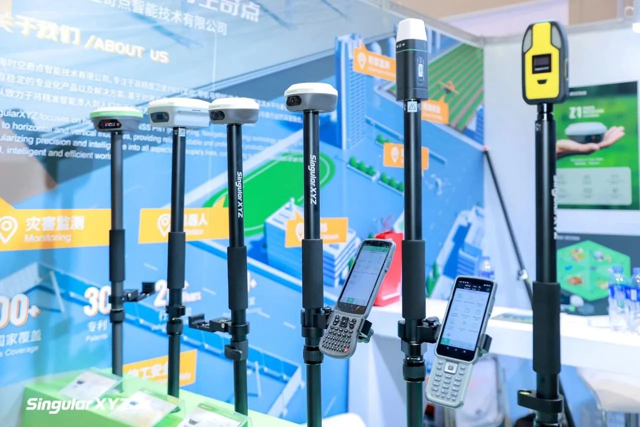
The brand-new Orion ONE RTK receiver from Time Space Singularity adopts a novel measurement method combining "laser + vision", innovatively integrating non-contact laser measurement and visual AR layout function. It provides users with precise and efficient surveying solutions in complex environments. Besides the new product, Time Space Singularity also offers popular products such as the multi-functional X1 series receivers, portable Sfaira ONE series receivers, and wearable P2 series receivers.
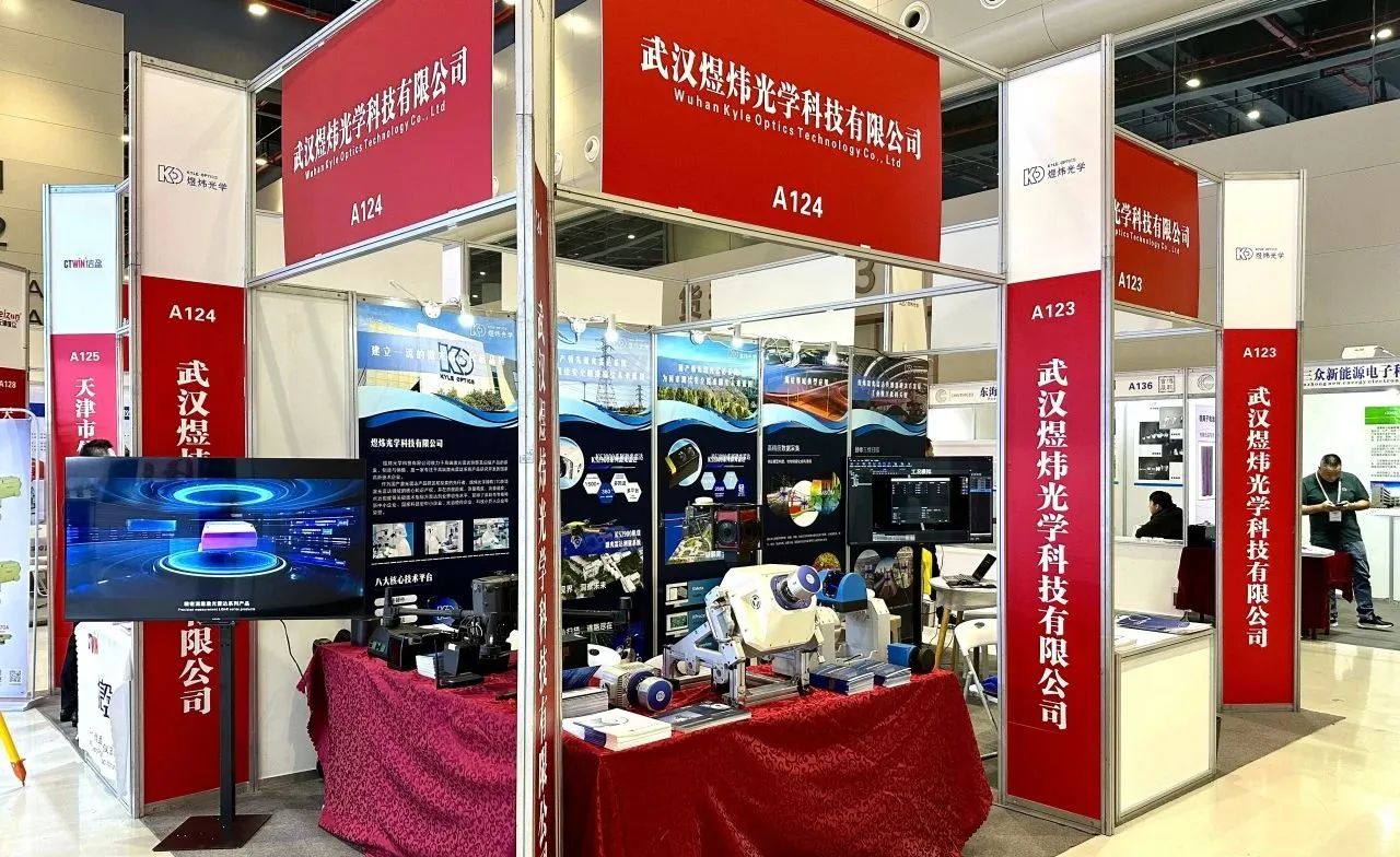
Yuwei Optics showcased a series of laser scanning equipment including KS2800, KS2900, KS9700, and KS2100 at the exhibition. It comprehensively presented a number of core products and solutions, presenting efficient digital solutions in fields such as rail transportation, topographic mapping, power line inspection, smart cities, agricultural and forestry surveys, and ancient architecture measurement.
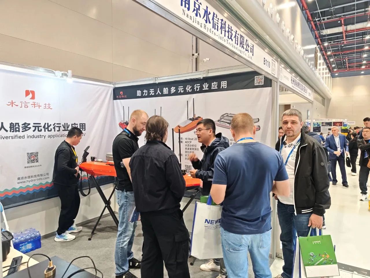
Yuwei Optics showcased a series of laser scanning equipment including KS2800, KS2900, KS9700, and KS2100 at the exhibition. It also comprehensively presented the products and integrated solutions of unmanned vessels developed by Nanjing Shuixin Technology Co., Ltd. for their second participation in the event.
CHINTERGEO2024
Products such as unmanned drones, unmanned ships, intelligent algorithm cloud applications, integrated real-world three-dimensional scenes of heaven and earth, precise positioning by Beidou, marine surveying, underwater exploration, and dredging construction measurement were all showcased. The convergence of these scientific and technological achievements is not only a brilliant highlight of CHINTERGEO, but also a strong driving force for the high-quality development of surveying and mapping geographic information technology.
On the CHINTERGEO stage, these technological "treasures" complement each other, jointly laying a solid foundation, expanding boundaries, and injecting vitality into the high-quality development of surveying and mapping geographic information technology.
CHINTERGEO2024 concluded successfully in Wuhan. The three-day event showcased the latest surveying an...
CHINTERGEO2025 concluded successfully at the Nanjing International Exhibition Center! During the thre...
CHINTERGEO2025 concludes in Nanjing! As a key industry benchmark marking the start of the 15th Five-Y...
CHINTERGEO2020中国测绘地理信息技术装备展览会已于9月27日在青岛国际会展中心胜...

Contact




 18801392970