Previous reviews
Now, let's go back and recall this technological extravaganza, and unlock those eye-catching exhibits that dominated the entire event!
Some exhibits are on display.
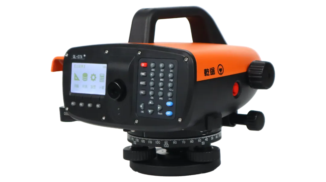
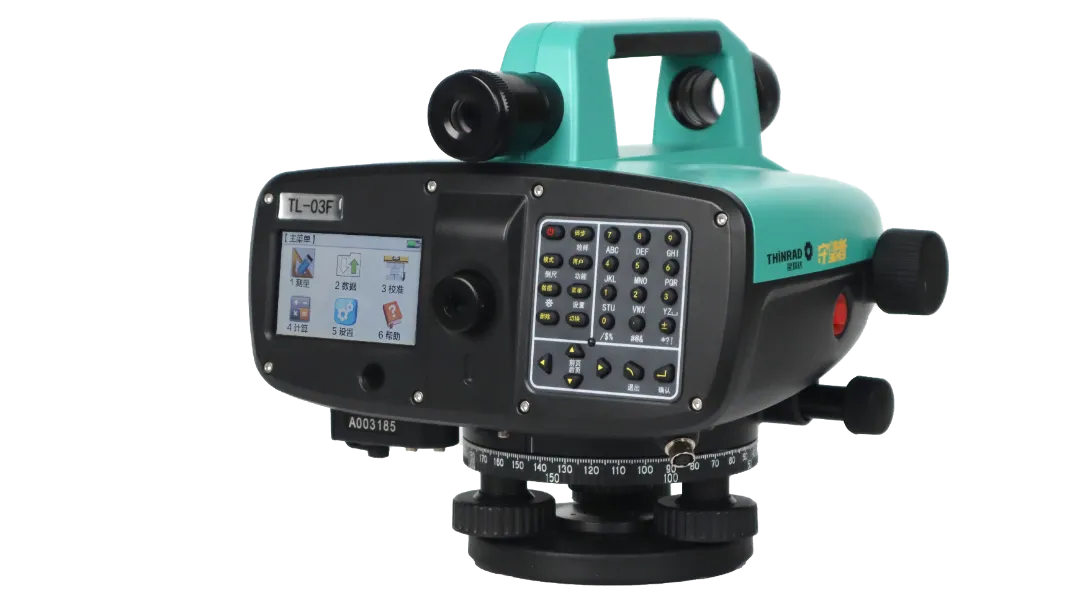
Changzhou Xinrude presented an impressive array of comprehensive surveying equipment. Its core products cover key categories such as servo total stations, total stations, level meters, GNSS devices, and handheld laser distance meters. The main exhibits included the Starrude Watcher monitoring model servo total station TS10 Ultra, the Starrude Surveyor's new-generation road, bridge and tunnel total station TTS-161R15, the Starrude Watcher automatic focusing digital level meter TL-03F, the Starrude Laser Distance RTKTG20 PLUS, the Gan Tu's new-generation road, bridge and tunnel total station Q5 2″, and the Gan Tu digital level meter QL-07A.
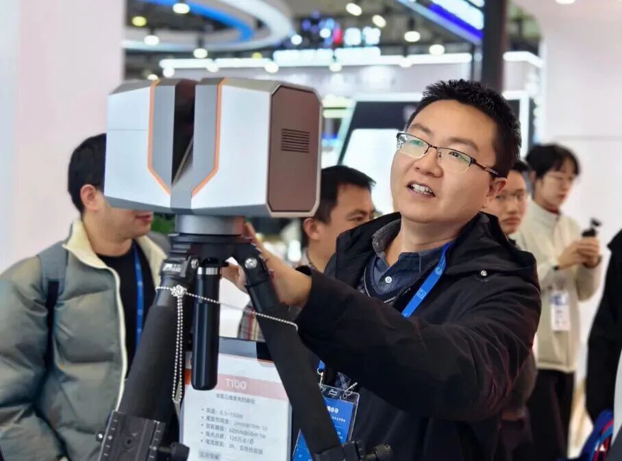
Yamato Technology presents its new generation of ground-based three-dimensional laser scanner T100 and a full range of high-precision laser radar products, showcasing a complete solution from core sensors to system integration. The first exhibited T100 has a sleek and compact design, with a maximum range of 150 meters, a measurement accuracy of 2mm within 50 meters, and supports simultaneous scanning and seamless battery life, making it suitable for high-precision measurement scenarios such as digital factories and BIM modeling.
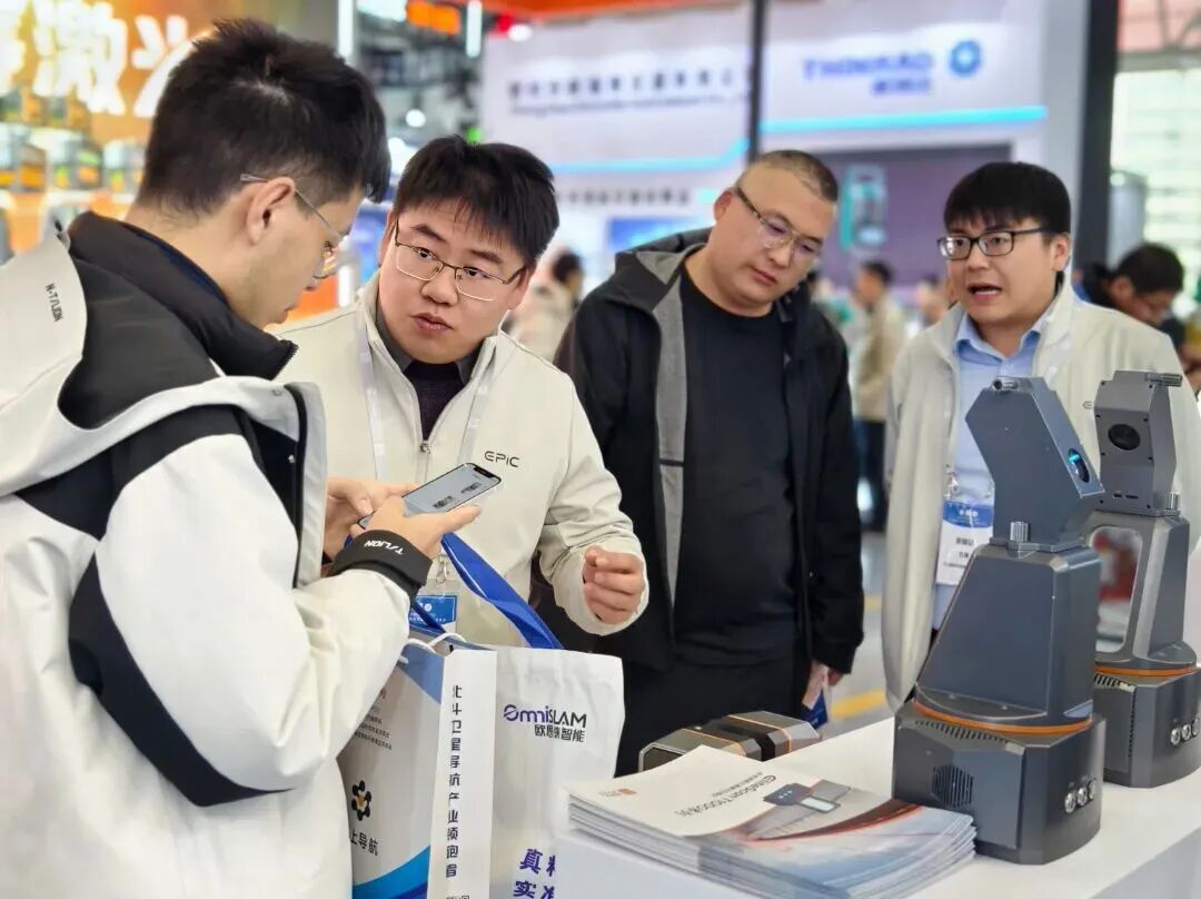
The 5-meter "Innovation Timeline" at the Unqoo Innovation Booth was extremely eye-catching, presenting the technological evolution process from 2018 to 2025. The booth also showcased two new products, Metacam Air2 and Metacam Pro. Among them, Metacam Air2 was demonstrated in conjunction with a quadruped robot dog, autonomously completing the entire inspection and scanning process, highlighting the core role of spatial perception technology in mapping and robotics.
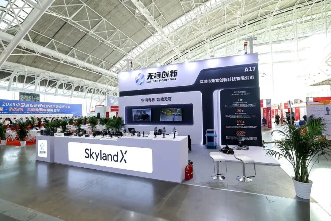

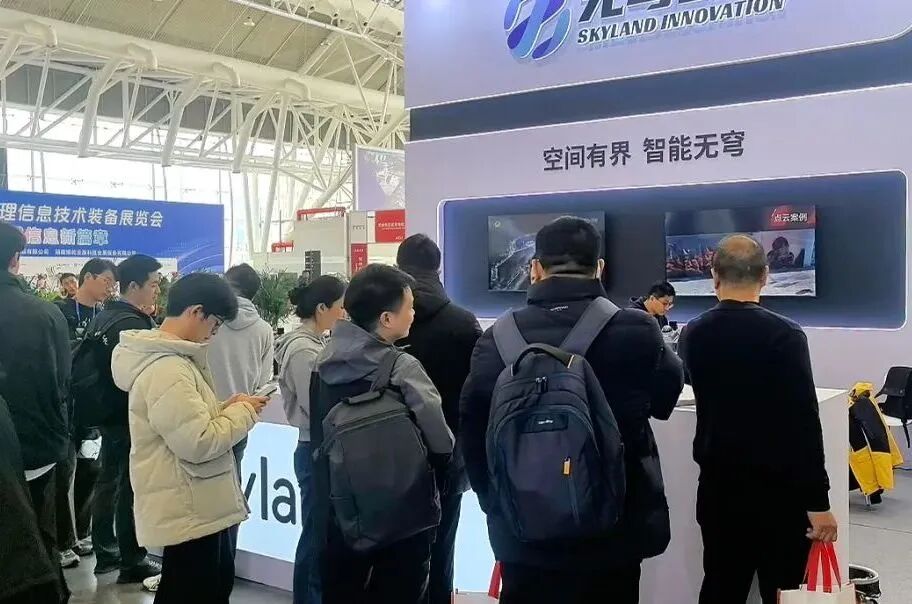
As an innovative force in the field of autonomous mapping, Differential Intelligent Flying has introduced the P300/P150 series of autonomous flying robots and a full-scenario mapping solution. Relying on core technologies such as autonomous navigation and cluster collaboration, along with practical verification, it presents a new paradigm of intelligent mapping that is efficient and precise. It is equipped with professional-level data processing software, which enables point cloud stitching, 3D modeling, coordinate conversion, and standardized result output, significantly enhancing operational efficiency and data accuracy. The exhibition area comprehensively showcases the entire solution package, core equipment, and customer practice cases in various fields such as mining and forestry, visually demonstrating the technical implementation capabilities in complex environments.
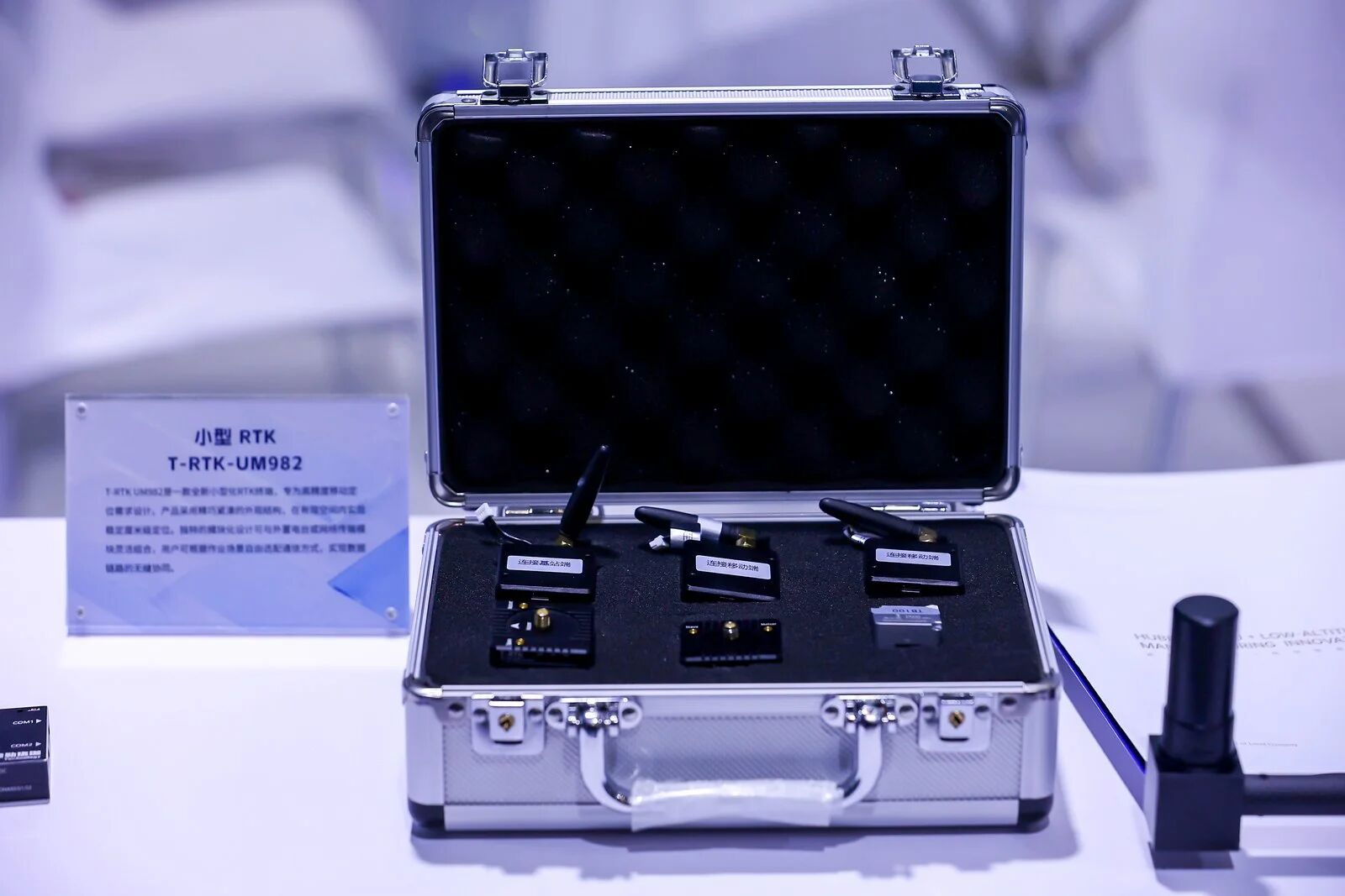
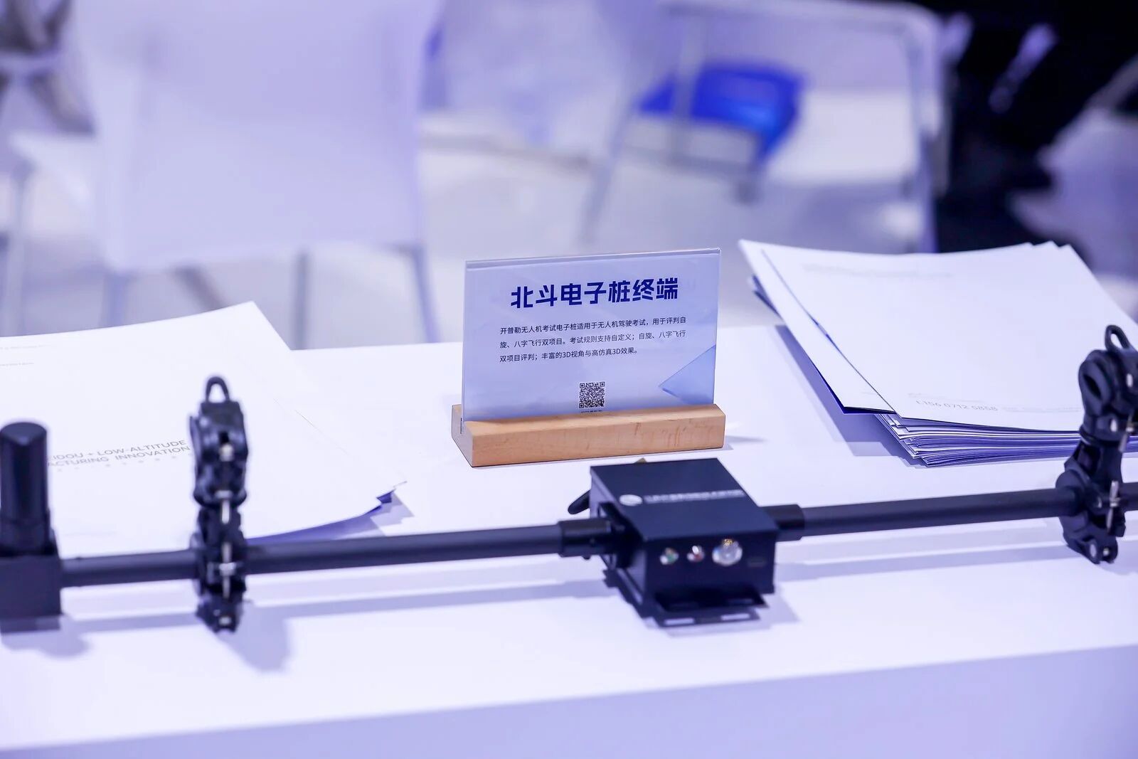
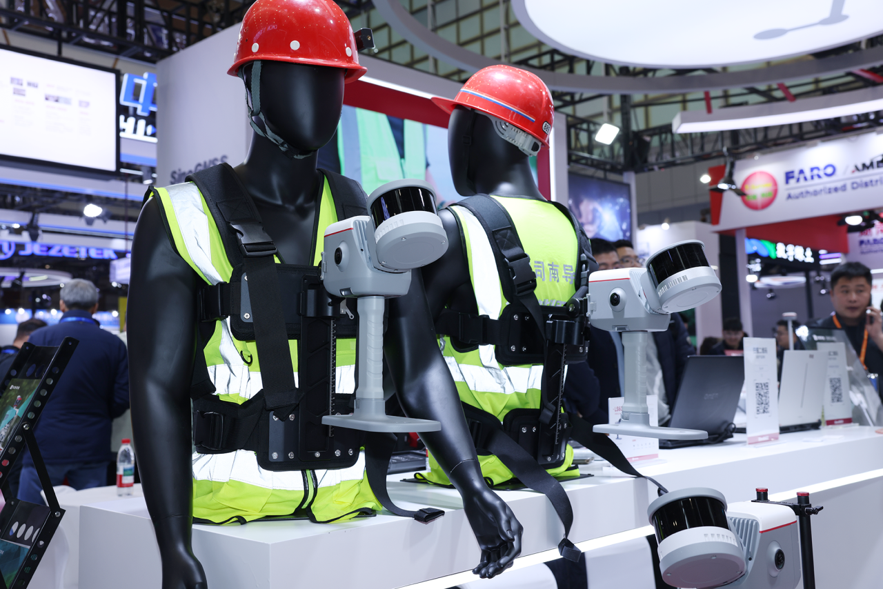
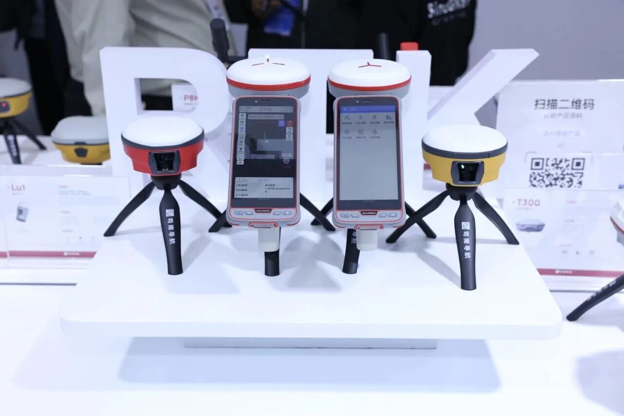
Sinan Navigation has introduced a new product lineup and new technology applications specifically tailored for mapping scenarios. This includes fourth-generation Beidou high-precision chips and modules, laser dual-camera RTK super station instruments, mapping unmanned boats, and 3D intelligent mapping terminals, highlighting the integrated development trend of space, ground, and air. Through equipment demonstrations at the site, a large number of visitors were attracted. Many customers and distributors came to exchange and negotiate, demonstrating the technical appeal of the brand and its products.
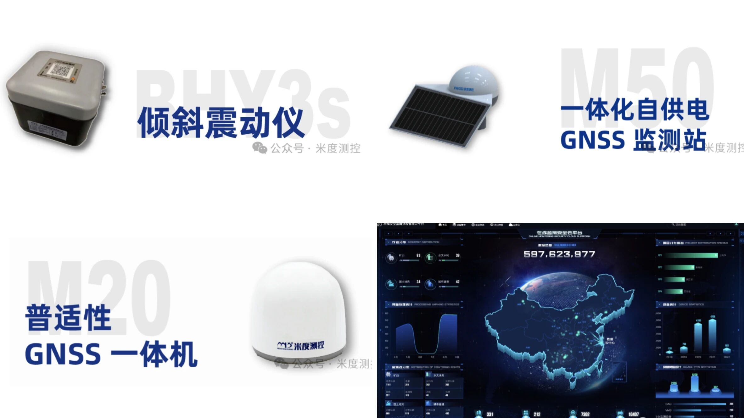
Midu Measurement & Control takes the Beidou satellite navigation technology as its core, integrating cutting-edge technologies such as the Internet of Things, big data, and digital twin. It participates in the exhibition with its core products: on the hardware side, there is the new-generation universal GNSS receiver M20, ultra-low-power integrated self-powered GNSS monitoring station M50, and low-power integrated IoT inclinometer BHY3S; on the software side, it introduces the MD-NET security monitoring and early warning analysis cloud platform, and the MD-IoT Midu IoT cloud platform.
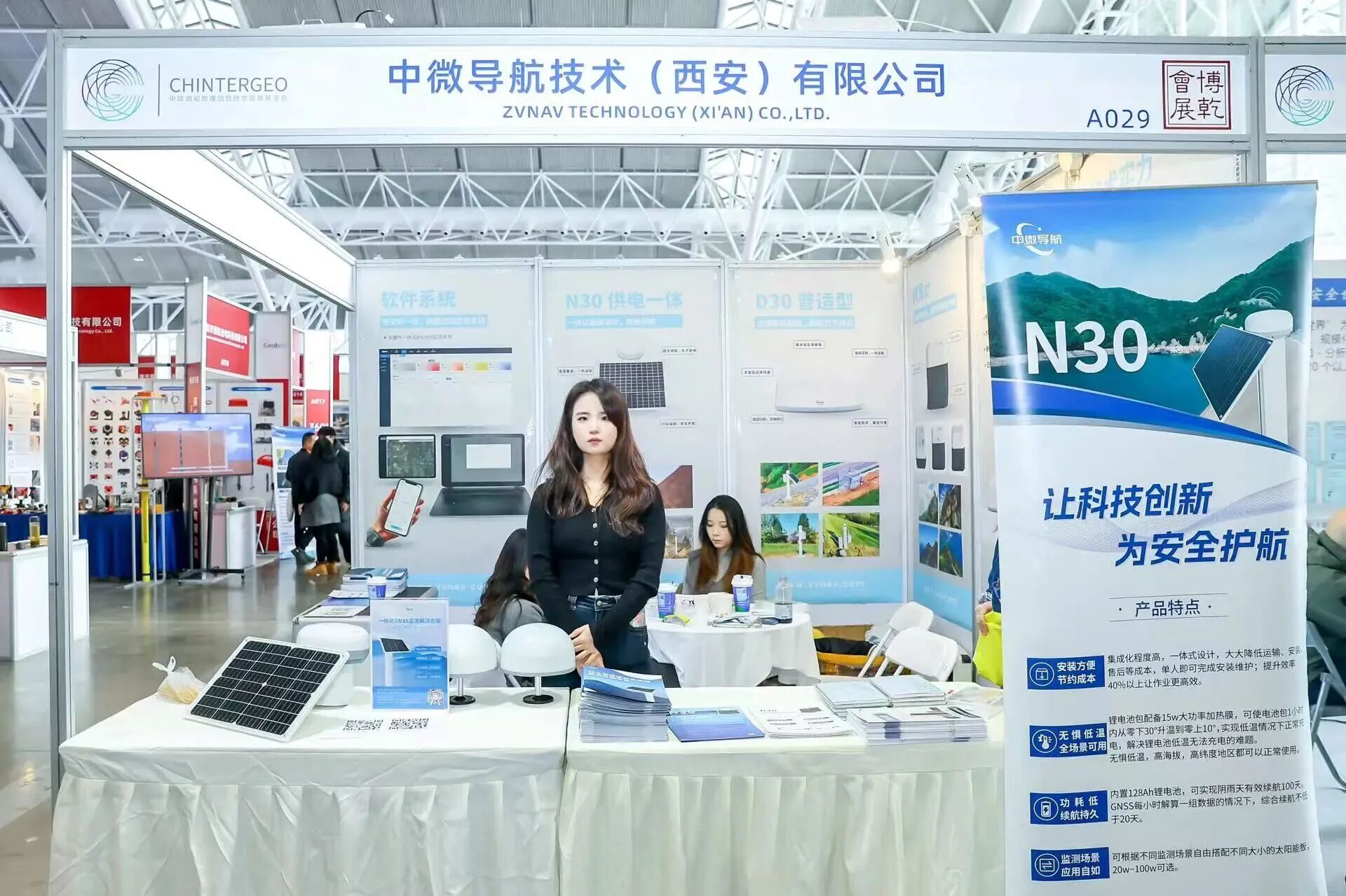
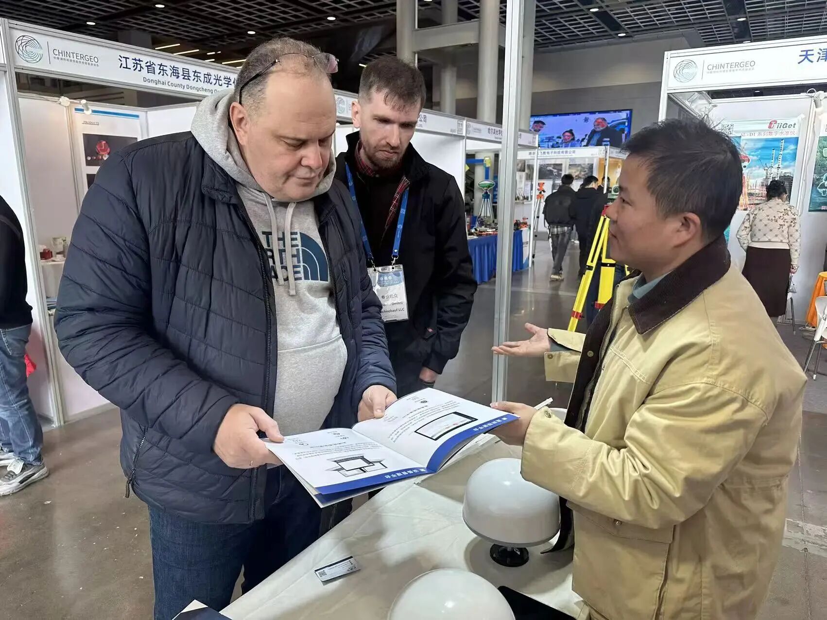
Zhongwei Navigation highlighted its innovative solution centered around the N30 power-integrated GNSS receiver and the D30 universal GNSS receiver. The core values of "simple deployment" and "intelligent early warning" precisely addressed the industry's pain points regarding efficiency and cost, attracting a large number of professional visitors to stop and engage in discussions.
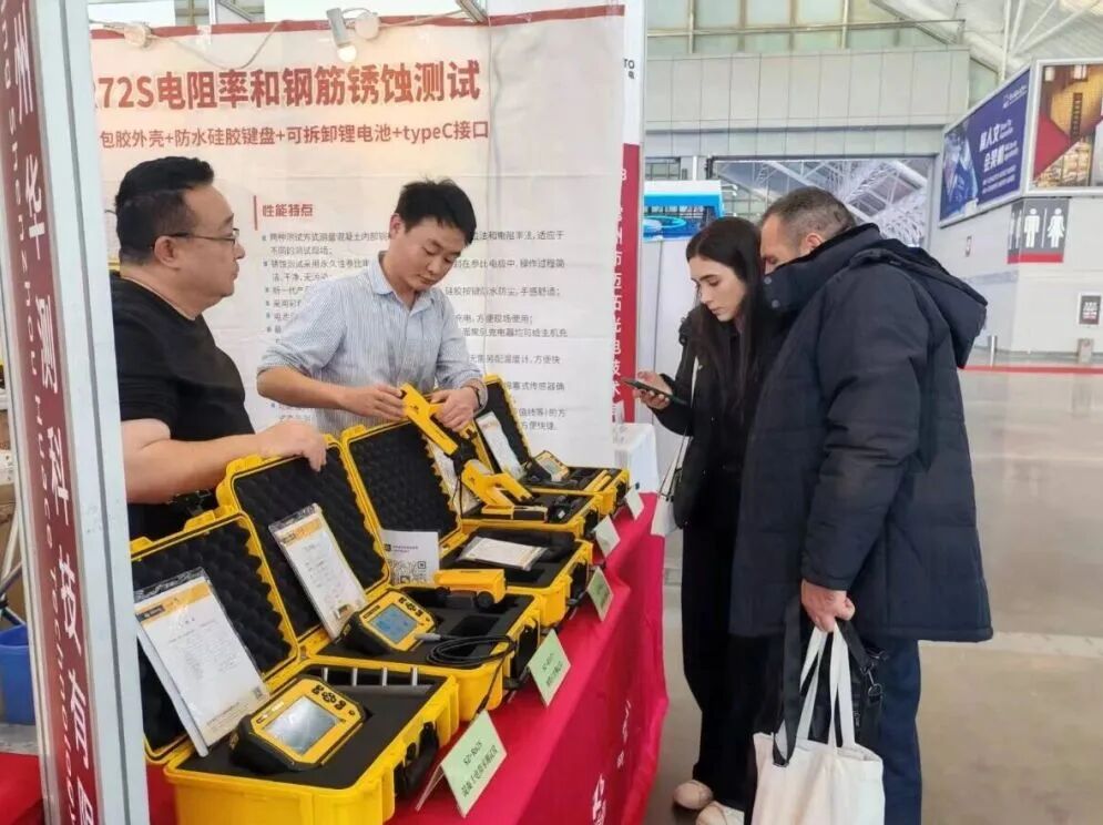
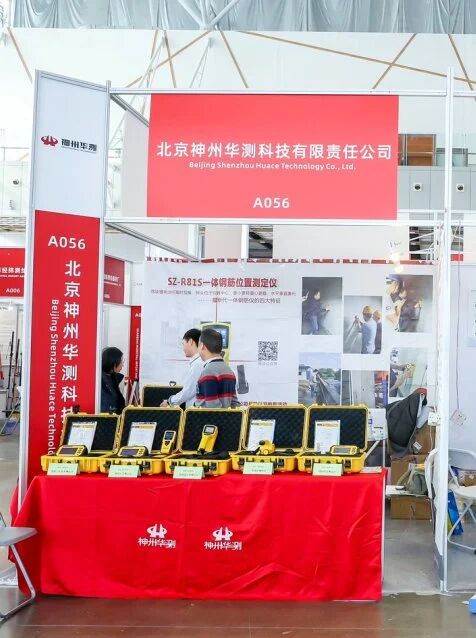
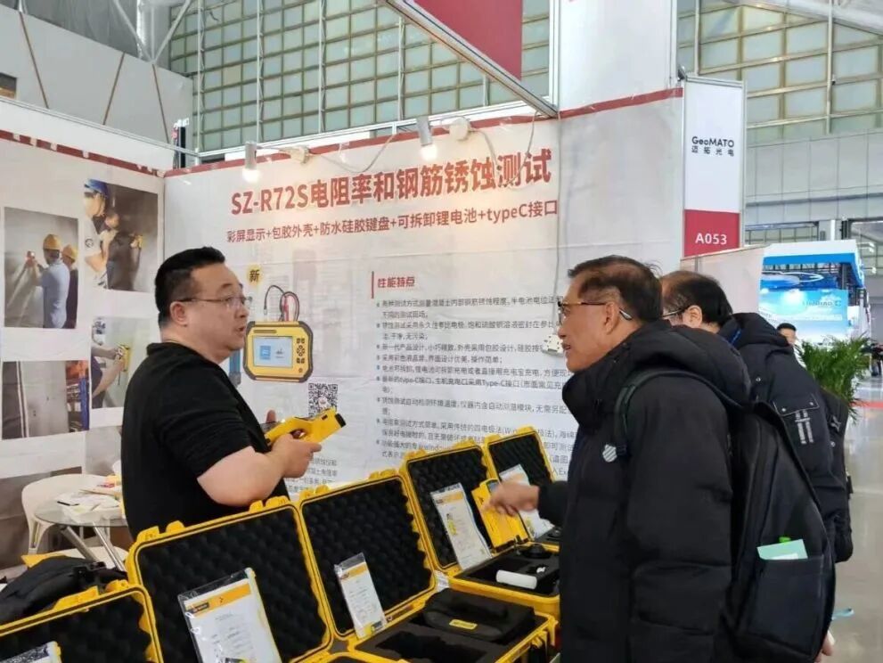
Shenzhou Huazhe showcases a variety of high-quality testing instruments in one place: SZ-R81S integrated steel bar scanner, SZ-R52S handheld steel bar position detector, SZ-Q31 integrated voice digital rebound tester, SZ-H71S integrated floor thickness measuring instrument, SZ-R51T/SZ-R51T+ steel bar position detector, SZ-H51T wireless floor thickness measuring instrument, SZ-H51S floor thickness measuring instrument, SZ-R61S steel bar corrosion tester, SZ-R62 concrete resistivity tester, SZ-F51S crack depth tester, SZ-Q61S ultrasonic concrete strength tester, SZ-R72S concrete resistivity and steel bar corrosion tester.
Unmanned drones, unmanned ships, intelligent algorithm cloud applications, integrated real-world three-dimensional scenes of heaven and earth, precise positioning by Beidou, marine surveying, underwater exploration, dredging construction measurement, as well as underground space detection equipment, low-altitude economic supporting surveying equipment, and city-level digital twin platforms - a variety of products were showcased. The convergence of these scientific and technological achievements is not only a dazzling highlight of CHINTERGEO2025, but also a powerful engine for the transformation of surveying and mapping geographic information technology into new quality productive forces and for serving the development of the digital economy in the first year of the "15th Five-Year Plan".
On the stage of CHINTERGEO2025, these technological "stars" shine brightly together, jointly laying a solid foundation for the high-quality development of surveying and mapping geographic information technology, extending application boundaries, and empowering diverse scenarios, moving full speed towards the beautiful vision of "Integrating Innovation, Expanding Boundaries, and Co-creating a New Chapter of Geoinformation".
CHINTERGEO2025 concluded successfully at the Nanjing International Exhibition Center! During the thre...
CHINTERGEO2025 concludes in Nanjing! As a key industry benchmark marking the start of the 15th Five-Y...
CHINTERGEO2020中国测绘地理信息技术装备展览会已于9月27日在青岛国际会展中心胜...
CHINTERGEO2019中国测绘地理信息技术装备展览会(以下简称:CHINTERGEO展览会),于...

Contact




 18801392970