Previous reviews
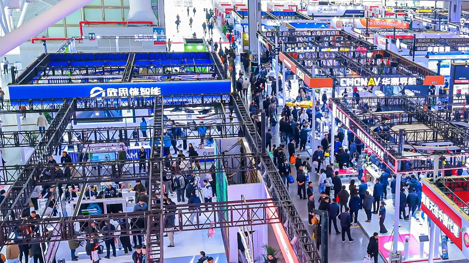
CHINTERGEO2025 concludes in Nanjing! As a key industry benchmark marking the start of the 15th Five-Year Plan, the exhibition expanded into new frontiers such as low-altitude economy and intelligent building inspection. Cutting-edge products including handheld 3D scanners and tunnel monitoring radars made their debut, offering a vibrant showcase. Let’s relive the excitement and uncover the innovative solutions shaping the future!
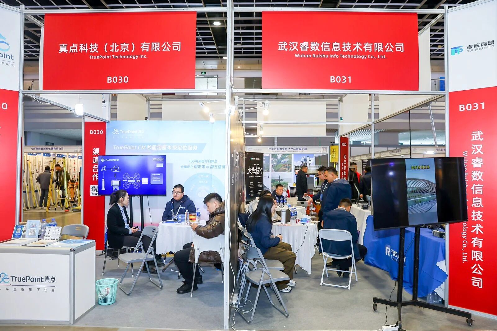
TruePoint Technology unveiled its upgraded TruePoint high-precision positioning service, showcasing network RTK services covering China, Europe, and the United States, along with an integrated "cloud-chip" solution that brings digital transformation to traditional surveying operations. At the exhibition, a range of intelligent surveying equipment—including new RTK terminals combining vision and LiDAR, unmanned surveying boats, line-marking robots, survey drones, and handheld laser scanners—were all equipped with Hecore's high-precision, highly reliable positioning modules, which have been validated by millions of units, serving as the key foundation for robust hardware performance.
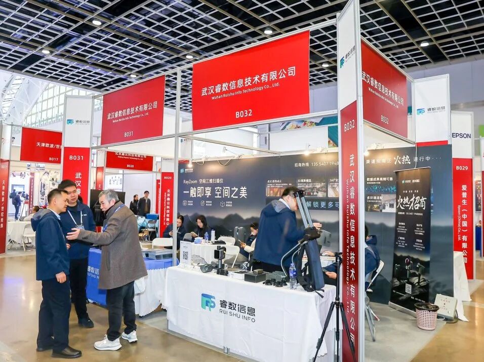
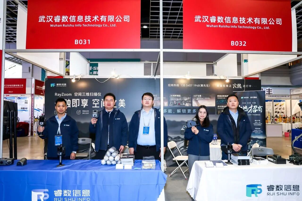
RuiShu Information showcased a variety of 3D space modeling hardware and related solutions. The core exhibits included two types of hardware products: the portable and efficient handheld scanning device RayZoom G200, and the universal 3D space scanner RayZoom G100. At the same time, supporting software and solutions were also presented, which can cover fields such as digital mapping, smart cities, digital twins, and BIM, and empower the digital transformation of the industry.
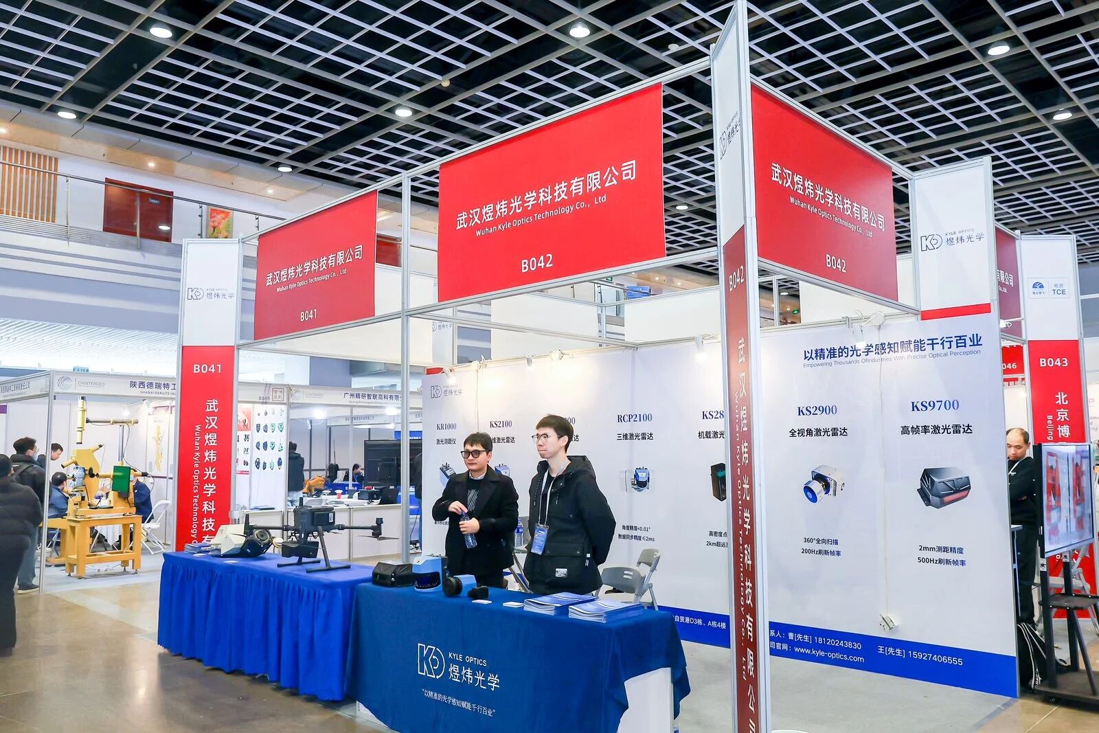
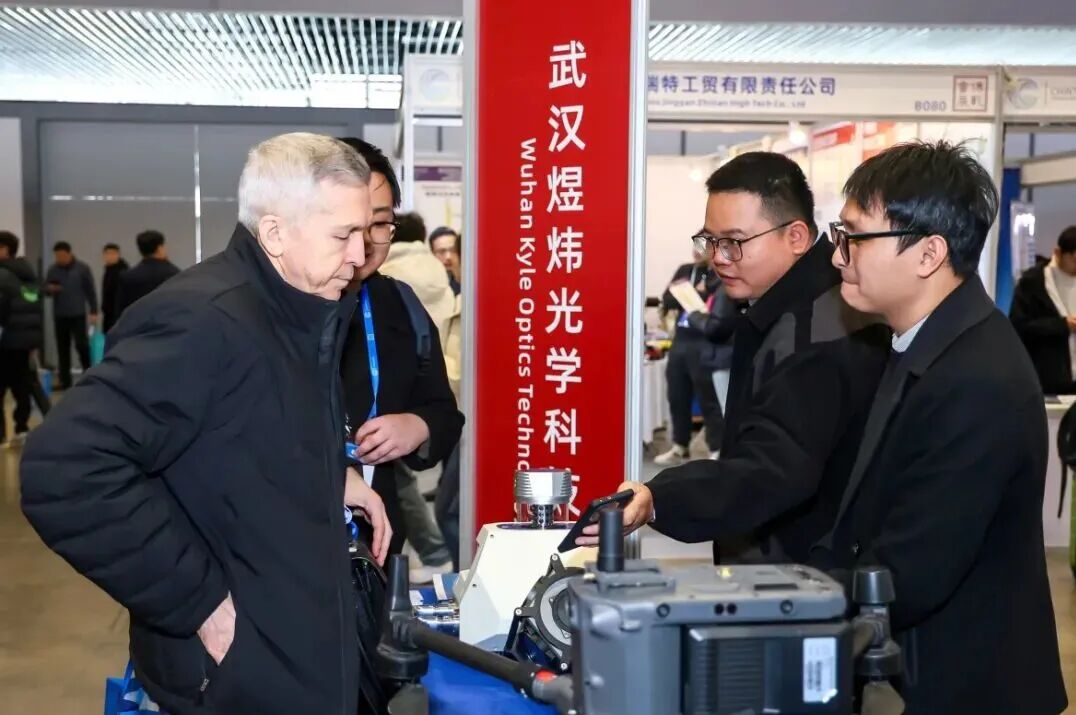
Yuwei Optics presents laser radar solutions and full-dimensional perception products covering mapping and various industrial scenarios: the KS2800 airborne laser radar system, the KS2900 all-view vehicle-mounted laser radar system, and the KS9700 high-frame-rate laser radar. The technical engineering team is on-site throughout the event, providing detailed explanations of the core advantages of the products, industry application scenarios, and conducting practical demonstrations for the visiting audience.
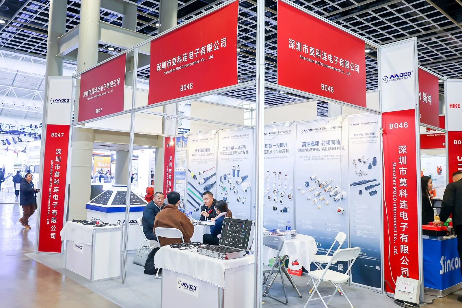
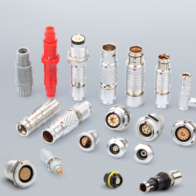
The Mokolian exhibition stand has attracted much attention from the industry with its professional connection technology capabilities. The on-site presentation focused on three core aspects: Firstly, it introduced a dedicated connection solution for high-precision GNSS receivers, laser scanners and other equipment in the field of surveying and mapping. Secondly, it showcased the real environment of military-grade products, conducting connection stability tests under extreme conditions. Thirdly, it shared customized service cases, demonstrating the successful practice of developing special interfaces tailored for customers.
Aonir Information Technology's spatial data solutions have become a popular highlight in the field of surveying and mapping. Presenting the UCL360 PRO series and the brand-new UCL360 GEN2, they offer a lightweight station-based scanning method, a new generation of point cloud workflow, and a full-stack software ecosystem, bringing more efficient, agile, and engineering-oriented spatial data solutions to China's surveying and mapping geographic information industry. Aonir Technology also showcased the VORTEX full-stack software system and opened up on-site experiences, allowing the audience to intuitively experience the efficient performance of the entire process of spatial data collection and processing.
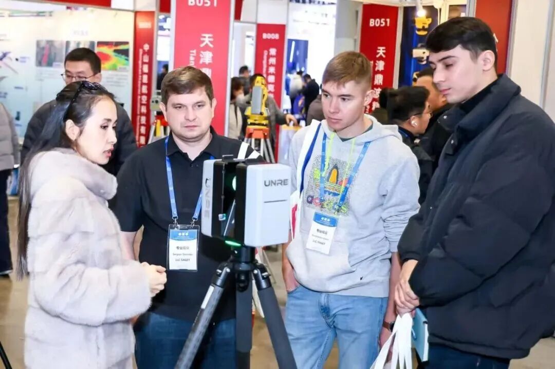
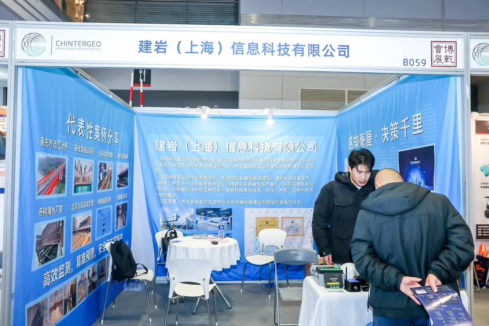
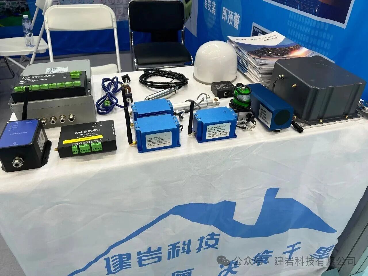
Jianyan Information Technology focuses on the theme of "Smart Monitoring Empowering New Quality Productivity" for its exhibition. The exhibits and the entire chain solution it brings are precisely in line with the technical exchange positioning of the exhibition's "space, ground, air, and sea" integration - on-site, multiple independently developed core products were showcased: inclinometer robots, machine vision products, low-power wireless series products. The structure cloud intelligent monitoring platform (version 3.0) independently developed by Jianyan Technology was also simultaneously displayed, providing more intelligent and efficient technical support for monitoring operations in the field of surveying and mapping and geographic information.
Leida Taike presented two core products: the LDTK-Dome Tunnel (Passage) Roof Monitoring Radar and the Seek Restricted Space Survey Unmanned Aerial Vehicle. These products offer a new solution for safety monitoring and high-precision mapping in complex and concealed spaces such as underground engineering, mine tunnels, and urban pipe galleries. The two products attracted a large number of professionals from the underground engineering and mining fields to stop by and inquire.
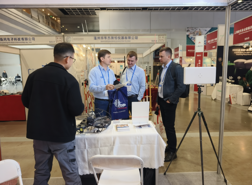
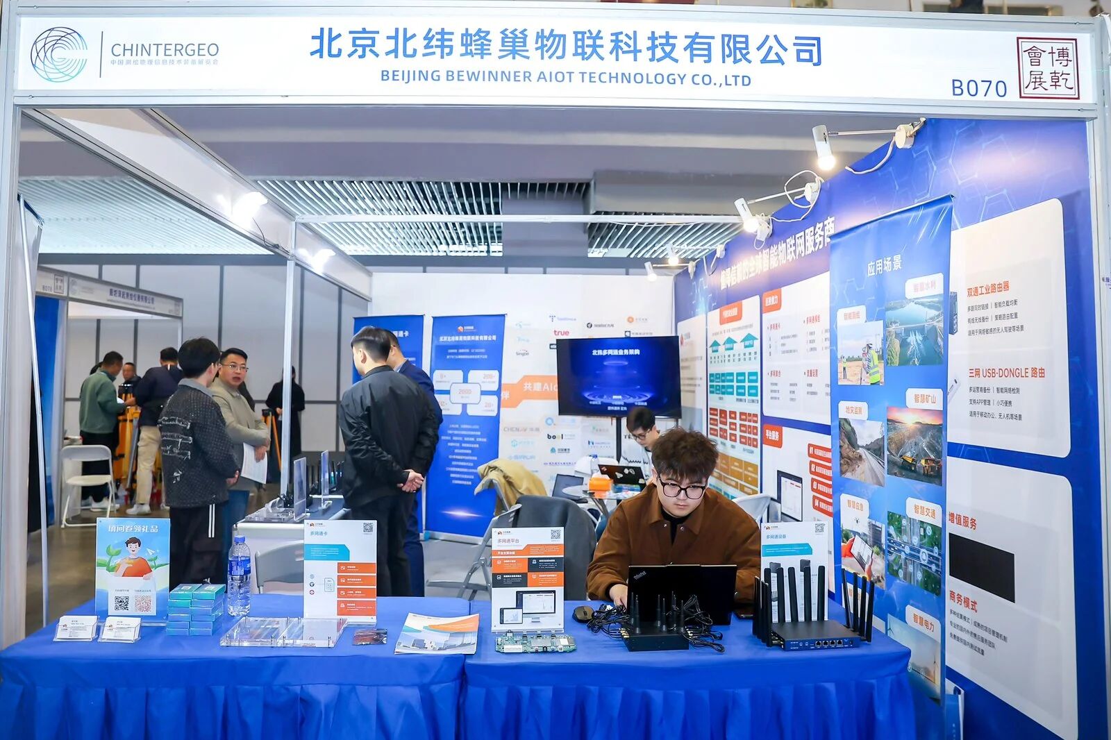
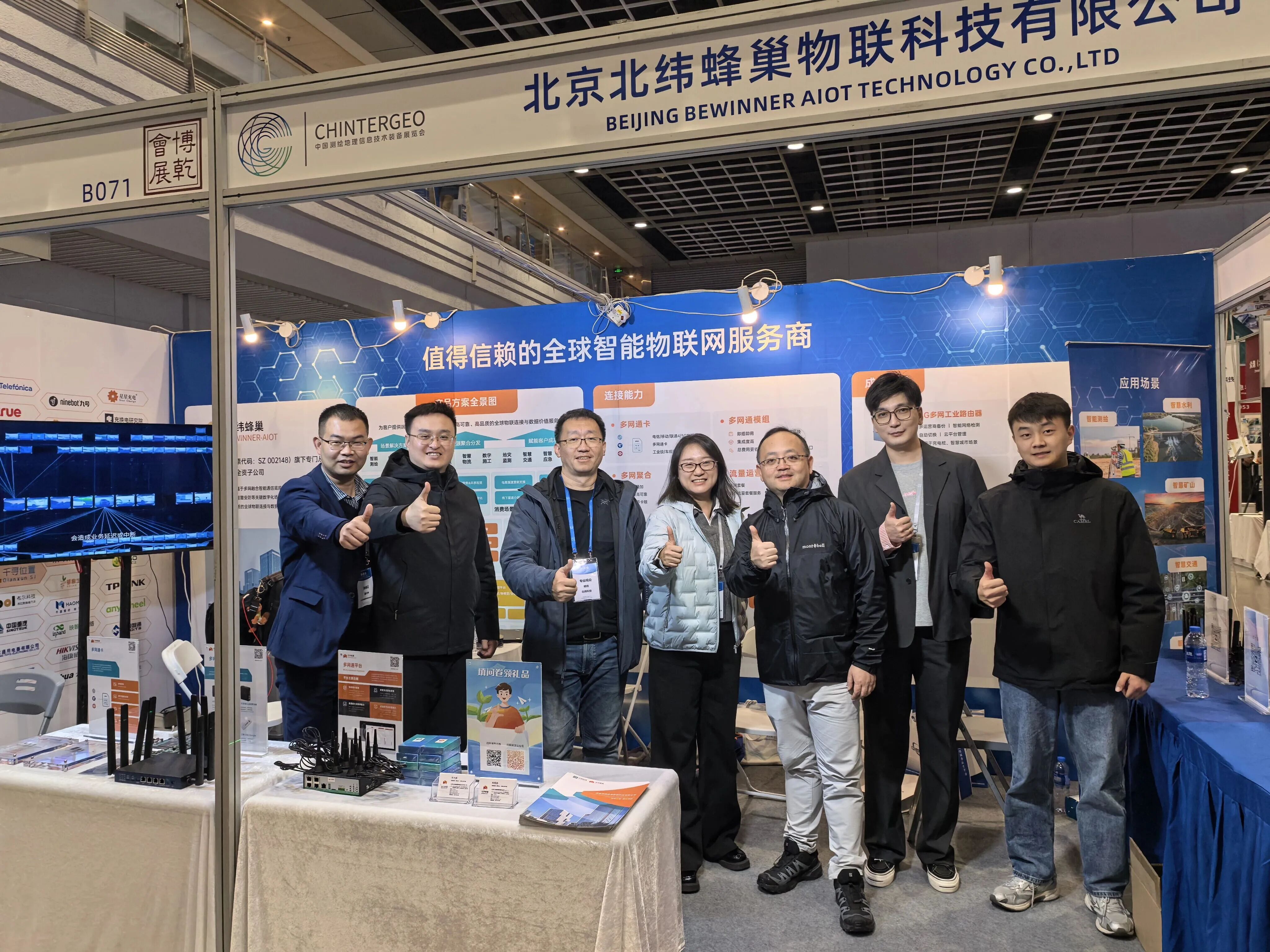
Beijing Latitude Hive IoT Company showcased its core IoT solutions at the event. Focusing on multi-network technology, it deeply met the demands of the surveying and mapping industry. On-site, it demonstrated a variety of core products such as IoT cards, multi-network modules, and intelligent connected devices. Beijing Latitude Hive IoT Company established strategic partnerships with the top 20 mainstream international operators and virtual operators, selecting high-quality local communication networks, which attracted a large number of industry enterprises to stop by and negotiate.
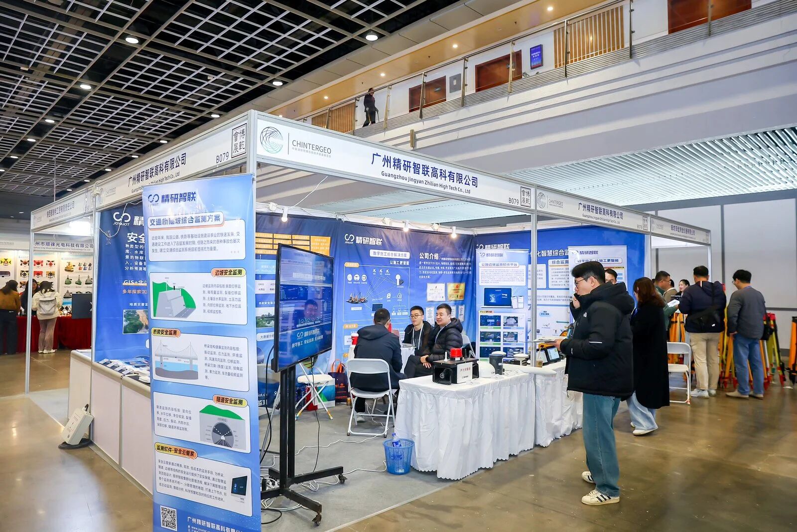
Jingyan Zhilian focuses on the "Beidou + Internet of Things + GIS integration" technology system, presenting three core achievements: "Integrated Smart Comprehensive Monitoring System for Sky, Ground and Space", "Digital Construction Comprehensive Solution", and "Safety Monitoring Solution". At the exhibition booth, the core display focuses on a series of high-end monitoring equipment and the interface of the core system platform. It is accompanied by detailed technical materials, clear implementation cases, as well as one-on-one in-depth explanations from the technical team.
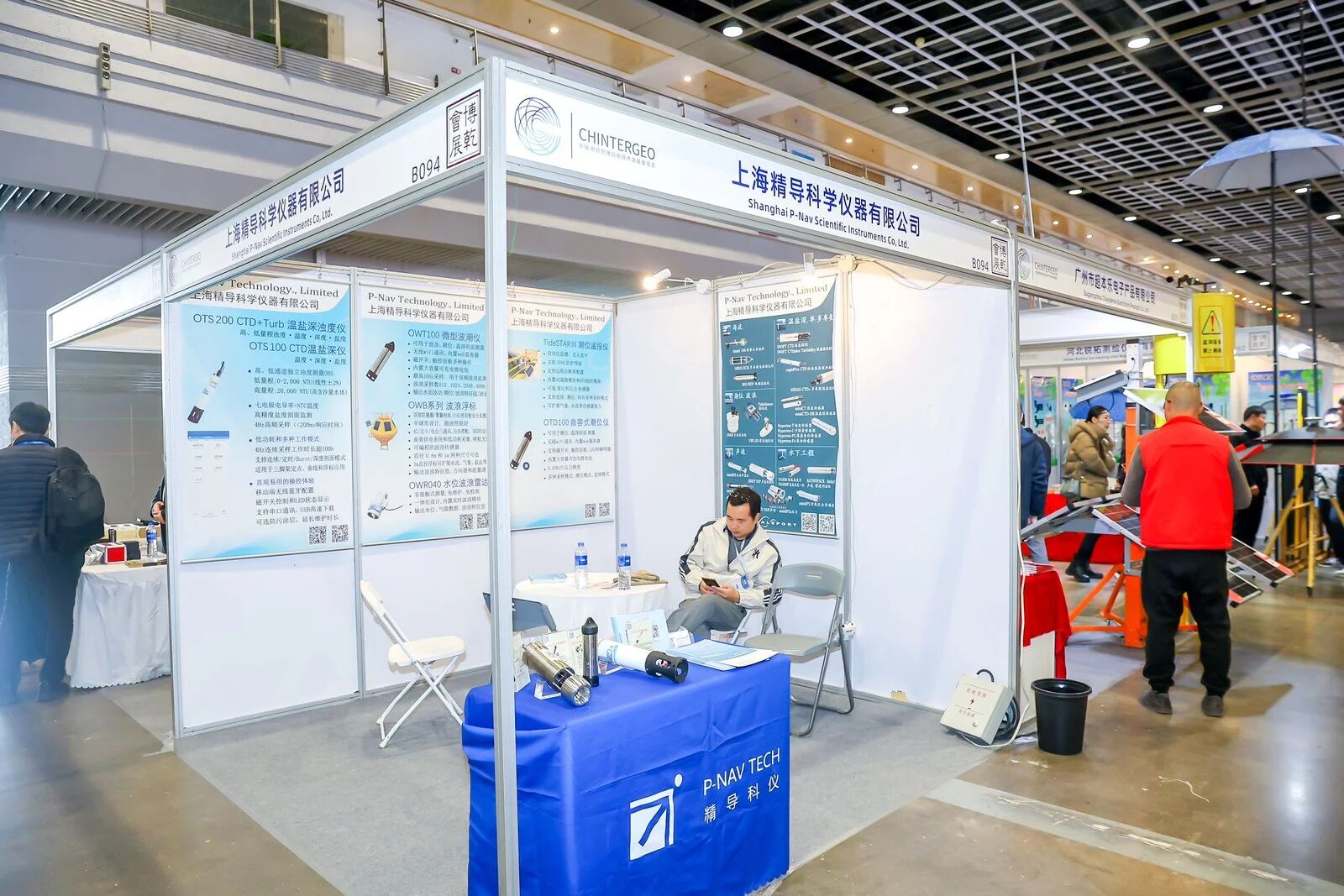
Shanghai Jingdao Scientific Instrument Co., Ltd., which specializes in marine surveying, showcased a variety of core products independently developed for marine surveying and hydrological monitoring. These products offer high-precision and intelligent solutions for marine geographic information in the industry. The on-site exhibits included the OTD100 tide gauge & water level meter, the TideSTARⅢ tide remote reporting instrument, the OWB series wave buoys, the OTS 100 CTD temperature-salinity-depth instrument, the SWiFT SVP sound velocity profile instrument, and the AQUAlogger 310TY OBS turbidity meter & sediment measurement instrument. These can precisely monitor various marine hydrological parameters such as tide level, wave, water temperature, salinity, depth, sound velocity, turbidity, and sediment.
Exhibits such as unmanned drones, unmanned ships, precise positioning by Beidou, and digital twin platforms have all gathered together. These are not only the eye-catching highlights of CHINTERGEO2025, but also a powerful driving force for the transformation of geographic information technology into new quality productive forces and for serving the digital economy. They lay a solid foundation for high-quality development of the industry, expand the application boundaries, and jointly pursue the vision of "Integrating Innovation, Expanding Boundaries, and Creating a New Chapter in Geographic Information".
Ten dynasties' capital, six dynasties' ancient capital, a CHINTERGEO gathering, surveying professiona...
On the banks of the Pearl River, a city of commerce for thousands of years People from all directions...
CHINTERGEO2024 concluded successfully in Wuhan. The three-day event showcased the latest surveying an...
CHINTERGEO2025 concluded successfully at the Nanjing International Exhibition Center! During the thre...

Contact




 18801392970