2018Review
2018 China International Surveying and Mapping Geographic Information Technology Equipment Summit Forum&China Surveying and Mapping Geographic Information Technology Equipment Exhibition was successfully held in Western China International Expo City,Chengdu, from 7th - 9th, November .
The exhibition is co-hosted by CHINTERGEO Alliance, Equipment committee of CHINA ASSOCIATION FOR GEOSPATIAL INFORMATION SOCIETY , Beijing Boqian International Coference And Exhibition Services Co., Ltd,organized by Beijing Haichuan International Advertising Planning Co., Ltd.,is the only similar exhibition recognized by The Global Association of the Exhibition Industry (UFI) in China and even the Whole world. After years of development, CHINTERGEO has become the second largest geographic information technology exchange event in the world and the largest in Asia.
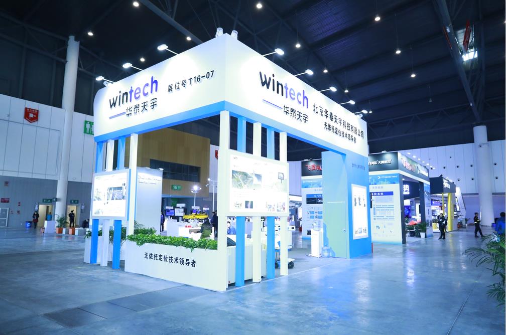
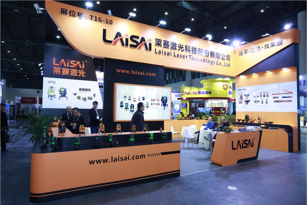
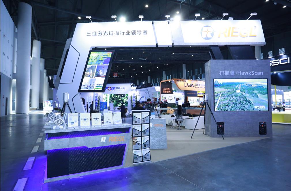
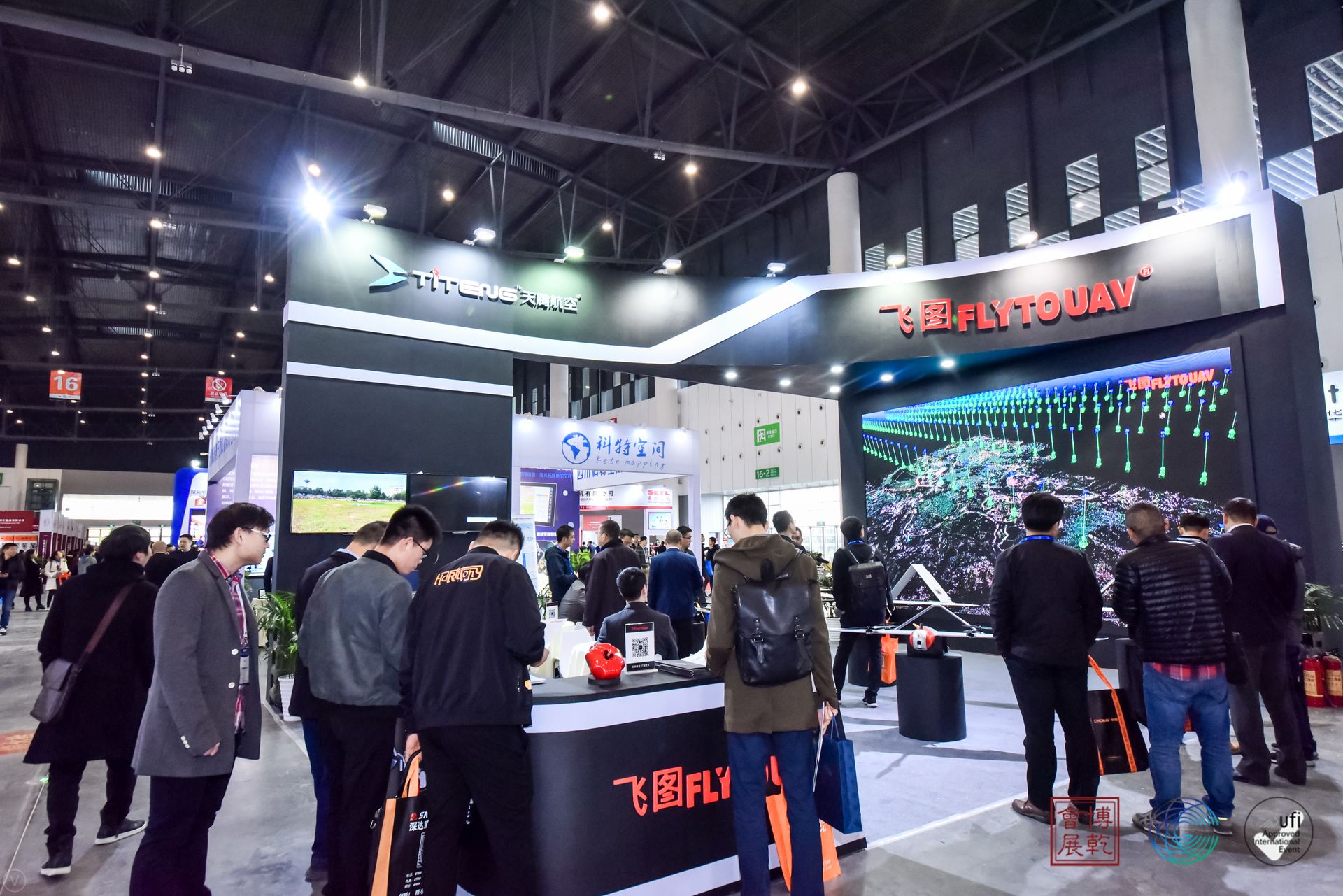
The exhibition is located in hall 15-16 of Western China International Expo City, with nearly 20000 square meters exhibition area, nearly 300 exhibitors and over 10000 professional visitors.
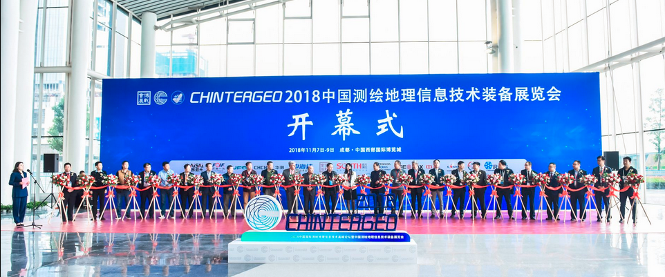
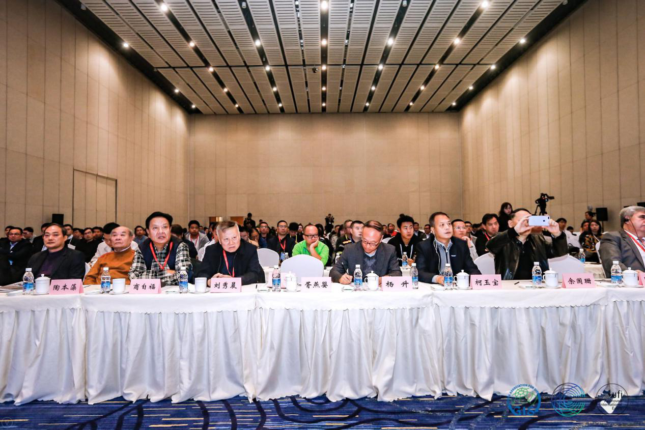
The opening ceremony was attended by Wang zengning, Secretary General of CHINA ASSOCIATION FOR GEOSPATIAL INFORMATION SOCIETY; Yu Guoshan,President of Sichuan Province Association of GIS;Dr. Orhan ERCAN,Vice-President of FIG(International Federation of Surveyors);Mr. Yang Baofeng, former deputy director of General Staff Surveying, Mapping and Navigation bureau , director of Civil-Military Integration Working Committee of CHINA ASSOCIATION FOR GEOSPATIAL INFORMATION SOCIETY;Professor Tao Benzao,,famous geodetic expert,Wuhan University; Mr. Ma Chao, General Manager of South Group;Mr. Liao Dinghai, Chairman of Hi-Target; Mr. Zhao Yanping,Chairman of CHCNAV ; Mr. Chen Xin, General Manager of Shanghai Topcon-Sokkia Technology and Trading Co., Ltd; Mr. Chen Liang, President of RCG Geosystems (Beijing) Co., Ltd.; Mr. Ni Han, President of Beijing Ispatial Co., Ltd.; Mr. Bai Zhengxuan, Secretary General of CHINTERGEO Alliance; Mr.Yang Guangdong, Sales General Manager of GEOMAX Measuring System (Wuhan) Co., Ltd; Mr. Wang Kejie, Total architects of Unistrong(Wuhan) e-commerce Co., Ltd.,;Mr. Zhang Fudi, General Manager of Suzhou FOIF Co., Ltd.,;Mr. Yang Guang, General Manager of Suzhou Fukuda Laser Precision Instrument Co., Ltd., Mr. Sun Jin, Deputy General Manager of Changzhou Laisai Laser Engineering Co., Ltd., Mr. Niu Fuhai, Deputy General Manager of Tianjin Optical Precision Instrument Co., Ltd.,Mr. Wang Chang,General Manager of ComNav Technology Co., Ltd., Mr. Xie Jihui, General Manager of Sales Center Beijing Unistrong Co., Ltd., Mr. Hu Liang, Shenzhen Huliang Instrument Leasing company, Mr. Bai Ruijie, Chairman of Aerospace Shuwei Co., Ltd., Mr.He Ru, Chairman of DACOSMO Co., Ltd., Mr.Zhang Jian, General Manager of KQ GEO Technologies Co., Ltd; Mr. Zhao Shutian, Chairman of Beijing Tianlifa Tcience and Trade Co., Ltd., and Mr. Wu Tao, General Manager of Beijing New Beiguang Dadi Instrument Co., Ltd.

The exhibitscovers surveying and mapping application satellites, high and middle altitude aerial photography aircraft, low altitude surveying and mapping UAV, surveying and mapping unmanned ship, mobile surveying vehicle, surveying robot, laser 3D scanner, airborne laser radar, photogrammetry camera and other high-tech surveying and mapping geographic information equipment, such as RTK, total station, electronic theodolite, electronic level, optical theodolite, optical level, optical level, etc Laser rangefinder, ranging telescope, GPS navigator, GIS handset, ruler, geological compass, rebound meter, leveling bubble, tower ruler, optical lens and components, tripod, explosion-proof box and other traditional surveying and mapping instruments and equipment accessories.
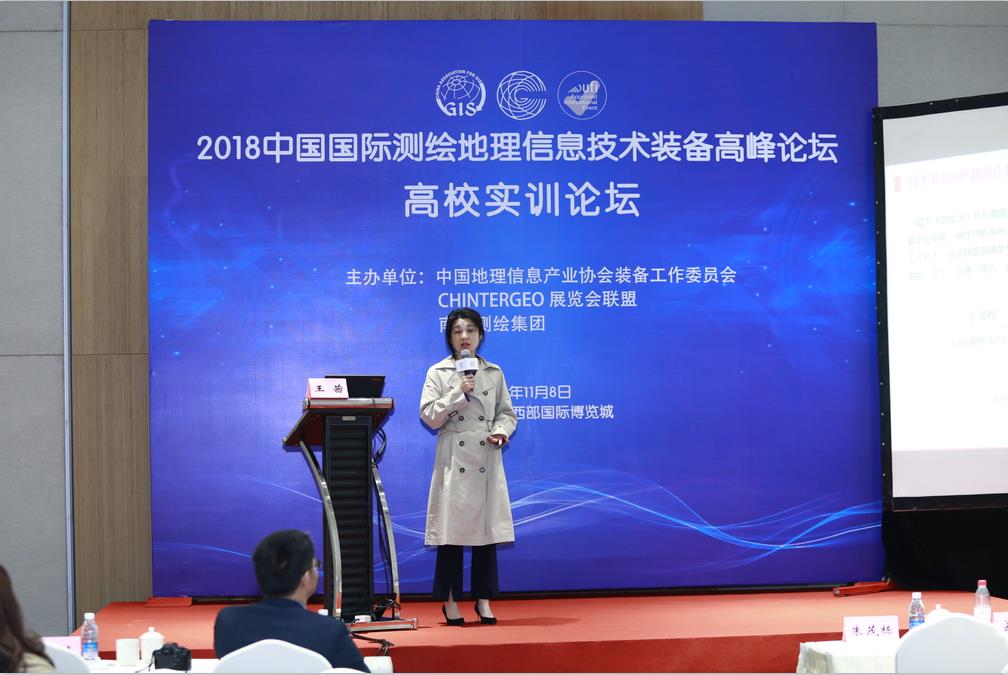
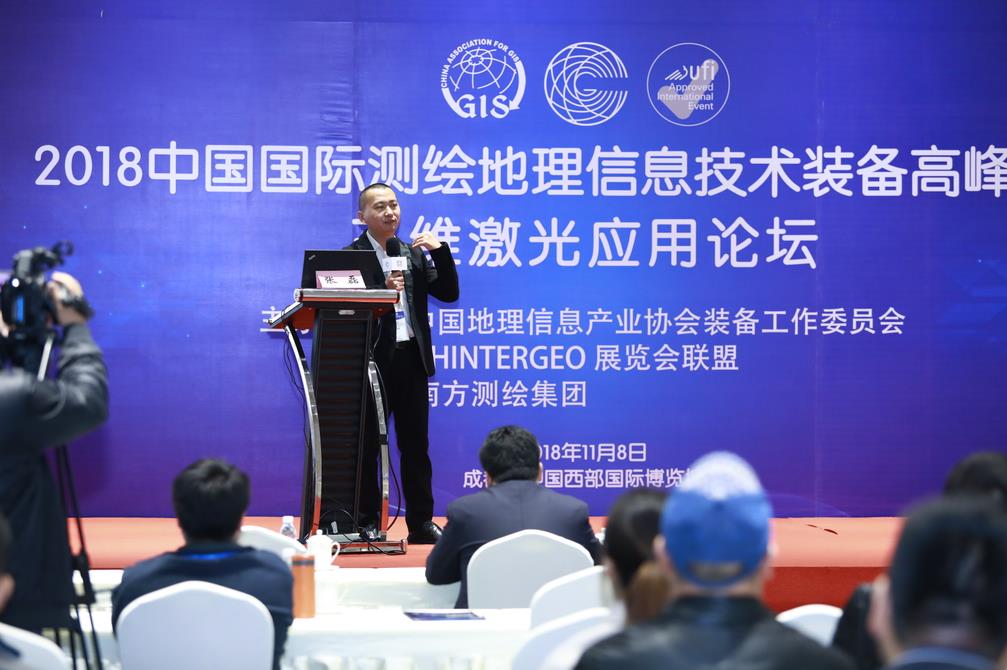
The Forum is located in hall 9 of Western China International Expo City, with one main forum and 4 sub forums,such as 3D laser application forum, UAV Application Forum and Education Forum, Smart Town Landscape Construction Forum. Nearly 50 industry leaders, experts and scholars from home and abroad are invited to report on such topics as industry development prospect, transformation of traditional surveying and mapping enterprises, application of new technologies and sharing special cases.
At this year’s Forum, elites gathered together and invited well-known experts and entrepreneurs to make reports, analyze development trends, discuss technical problems, share innovation achievements, introduce advanced products and negotiate business cooperation, which are very beneficial to promote the healthy development of the industry. We sincerely hope that through this Forum, we can base ourselves on the present and look forward to the future, offer advice and wisdom, learn from each other, deeply exchange and discuss, and sincerely cooperate, so as to jointly play a positive role in promoting China's Geographic Information Equipment Technology Innovation, Transformation and Upgrading, high-quality development and optimization of the market business environment, and constantly promote the formation of prominent advantages, reasonable structure, innovation driven, and regional collaboration,create a new pattern of geographic information industry with domain coordination and high quality development.

Contact


 010-53854065